 Travel Notes
 Xinjiang: 1.66 Million Square Kilometres, from Kanas to Kashgar
How big Xinjiang really is, and where to start
The Xinjiang Uyghur Autonomous Region sits in China’s far northwest and covers 1.66 million square kilometres, more than any other province-level area in the country. Its shape is usually summed up as three mountain ranges holding two basins: the Altai, the Tianshan and the Kunlun running north to south, with the Junggar and Tarim basins caught between them. One trip can therefore start on a glacier in the morning and end in a desert oasis the same afternoon, with grassland and wind-carved yardang country in between. The commonest mistake first-timers make is trying to see it all at once; a flight from Urumqi to Kashgar alone takes more than two hours.
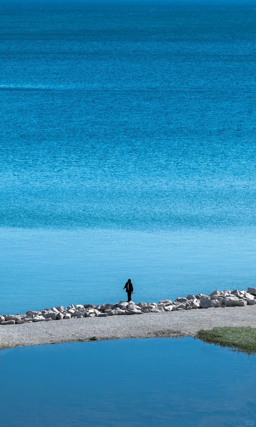
North for nature, south for people, east for the old road
Travellers tend to plan Xinjiang in three parts. The north is about grassland, lakes and snow peaks. The south is about people: the lanes of Kashgar’s old town, the craftsmen in its bazaars, the Tajik villages up on the Pamir plateau. The east, around Turpan and Hami, keeps the densest cluster of ruined Silk Road cities anywhere in the region. The three feel nothing alike and each deserves at least a week. Decide what you most want to see before you decide which city to fly into.
Kanas: the lake, the viewing platform and the three bays
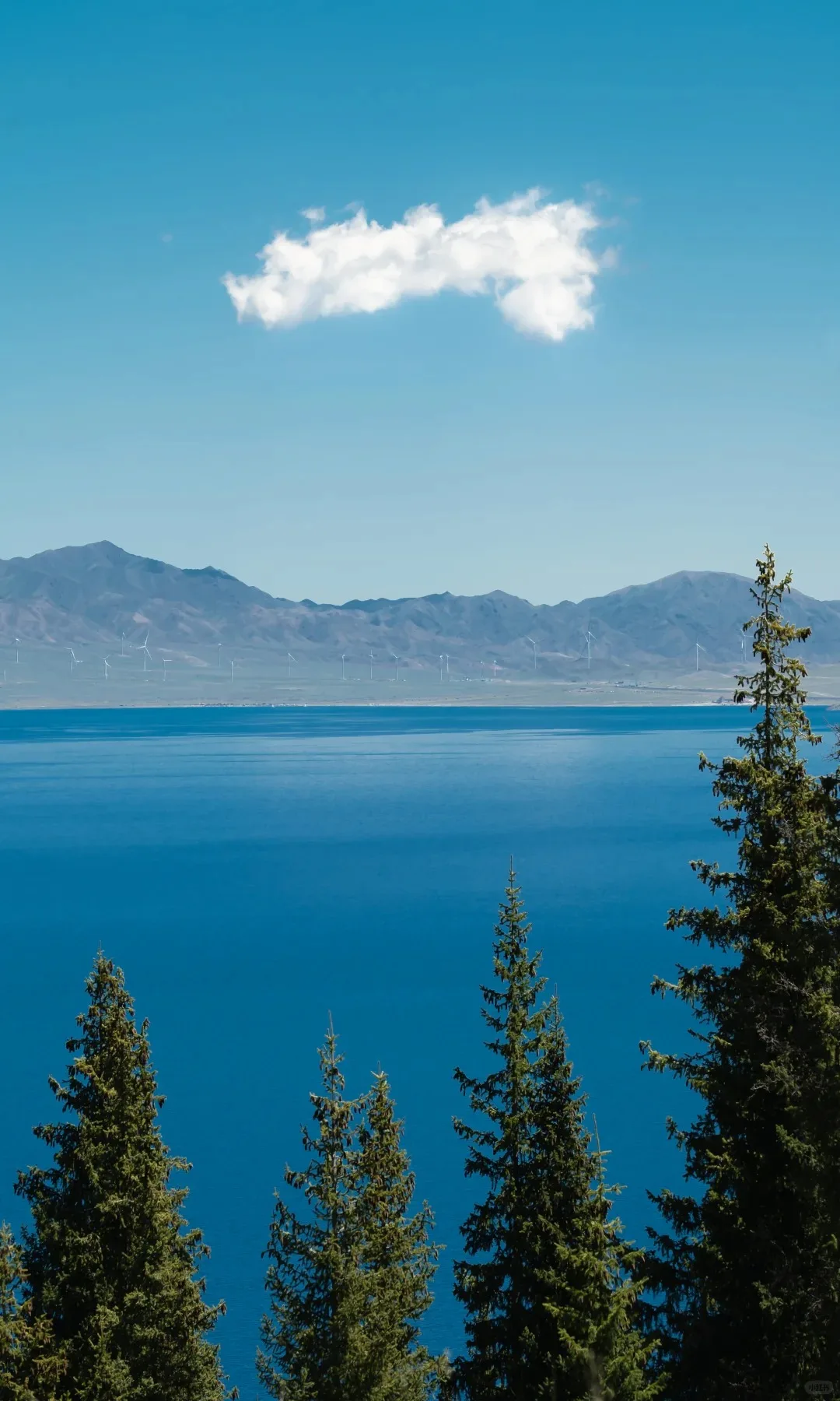
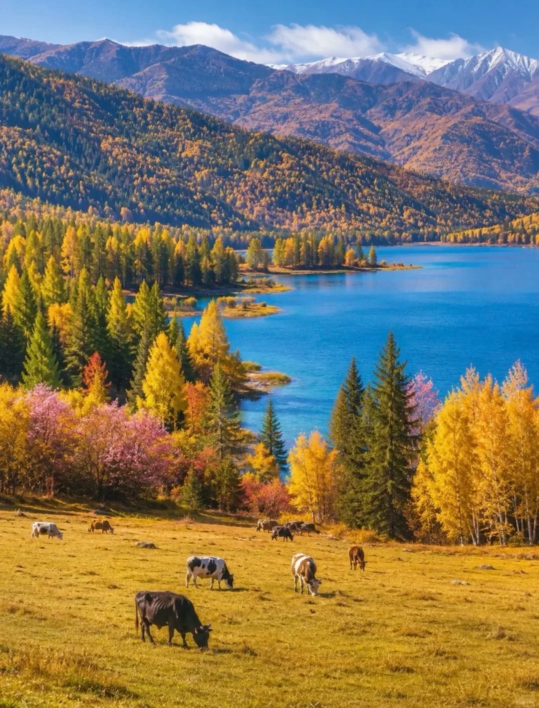
Kanas lies in the Altai prefecture and has three parts: Kanas Lake, Hemu village and Baihaba village. The lake is known for its monster legend and for autumn colour; admission with the shuttle bus comes to 230 yuan, and two or three days is a comfortable stay. The shuttle climbs to a viewing platform above the water, where the colour shifts with the light, sometimes jade green, sometimes deep blue. If you have the legs for it, walk the three bays — Shenxian, Yueliang and Wolong. When the morning mist lifts, the surface goes flat as a mirror and takes in the spruces and the snow peaks at once.
Hemu and Baihaba: timber houses and a border village
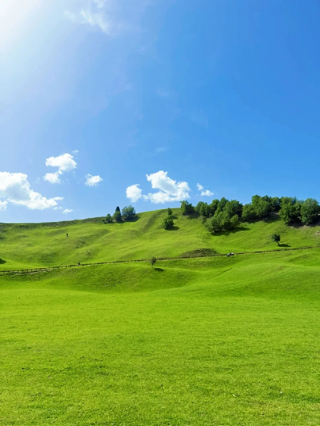
Hemu is a Tuvan village, 50 yuan to enter, its pointed timber houses scattered through the valley behind wooden fences. Mist settles in the morning, smoke rises off the roofs and cattle drift across the meadow; you will not find that quiet in a city. A night in one of the small cabins is worth it — the conditions are plain, but the stars and the dawn mist justify the early start. Baihaba sits on the border with Kazakhstan, costs 30 yuan and needs a border permit arranged in advance. It is smaller than Hemu and gets fewer visitors; in autumn the birches against the snow peaks make a deep, saturated picture. Shuttles link all three, and three to four days makes a relaxed run of it.
The Ili valley: layered grassland at Nalati and Kalajun
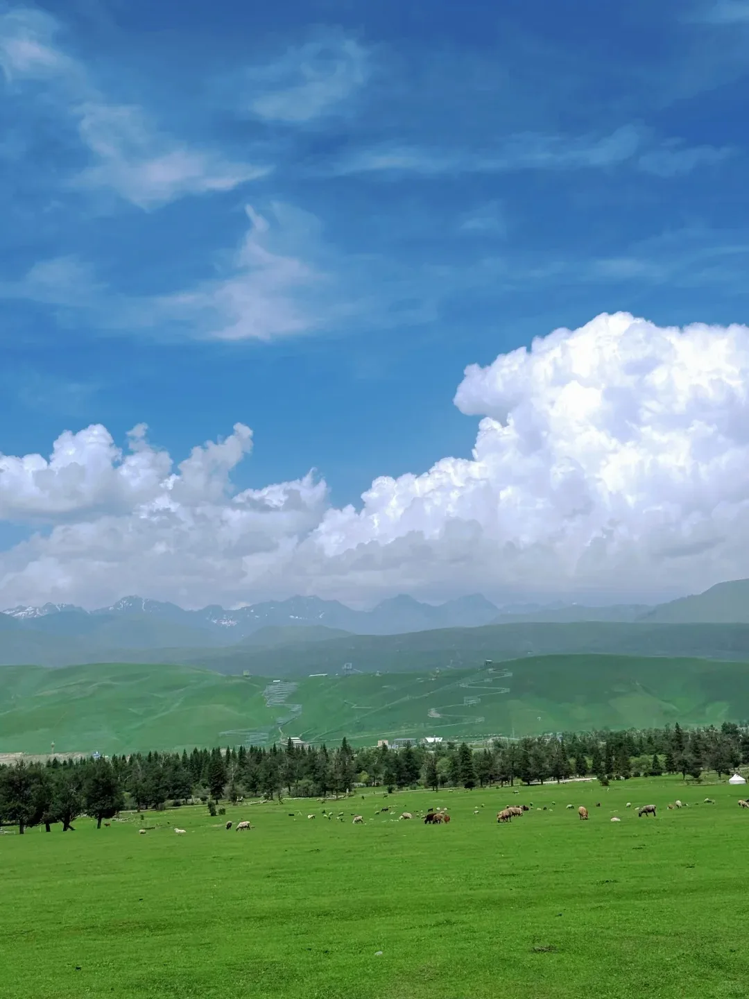
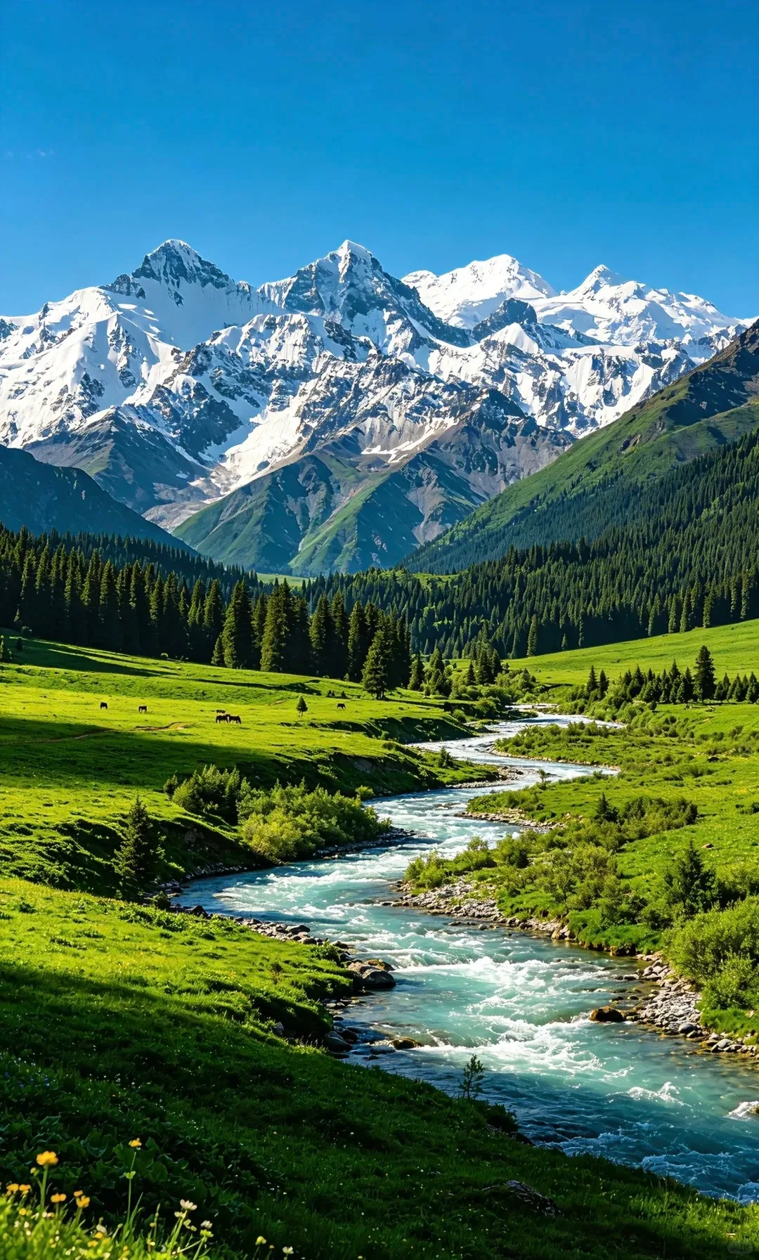
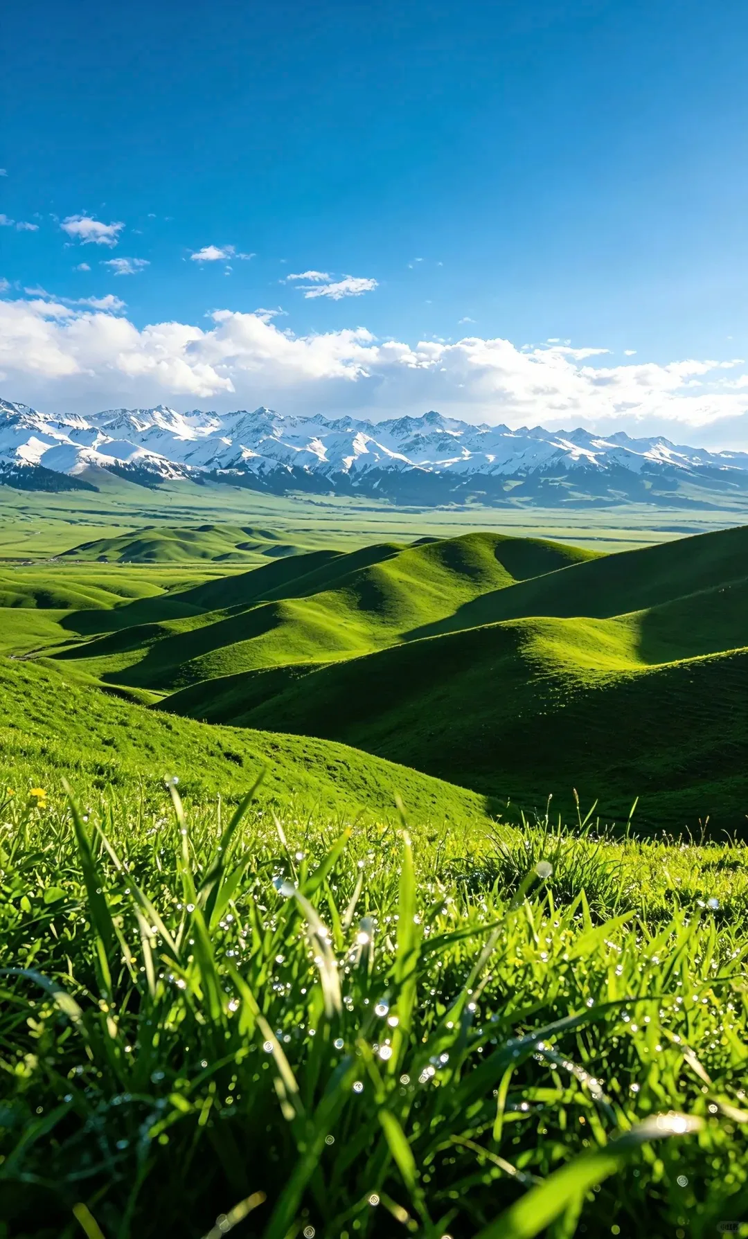
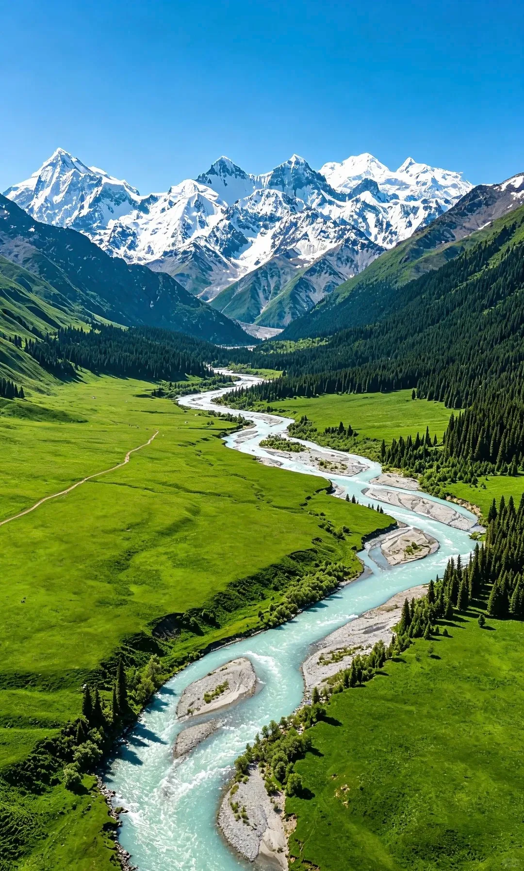
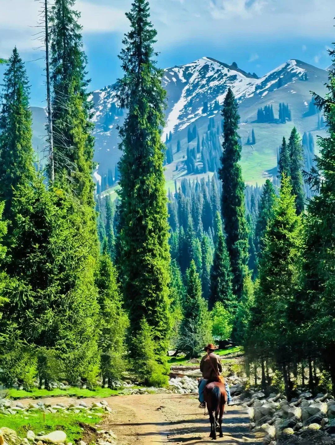
The Ili valley is nicknamed the Jiangnan beyond the passes. In summer the Nalati and Kalajun grasslands turn a startling green; admission is 95 and 80 yuan. Nalati rolls, with snow peaks far off and pasture stacked in front of them, Kazakh herders’ yurts dotted about. You can ride the herding tracks for an hour or two, or simply lie down and listen to wind moving through the grass. Kalajun is famous for its terraced grassland: from high up it looks like one enormous blanket laid over the slope, sunlight jumping along the tips. A night in a yurt, a bowl of milk tea and a dombra playing after dark are what this area does best.
Sayram Lake and Guozigou: thirty kilometres around the water
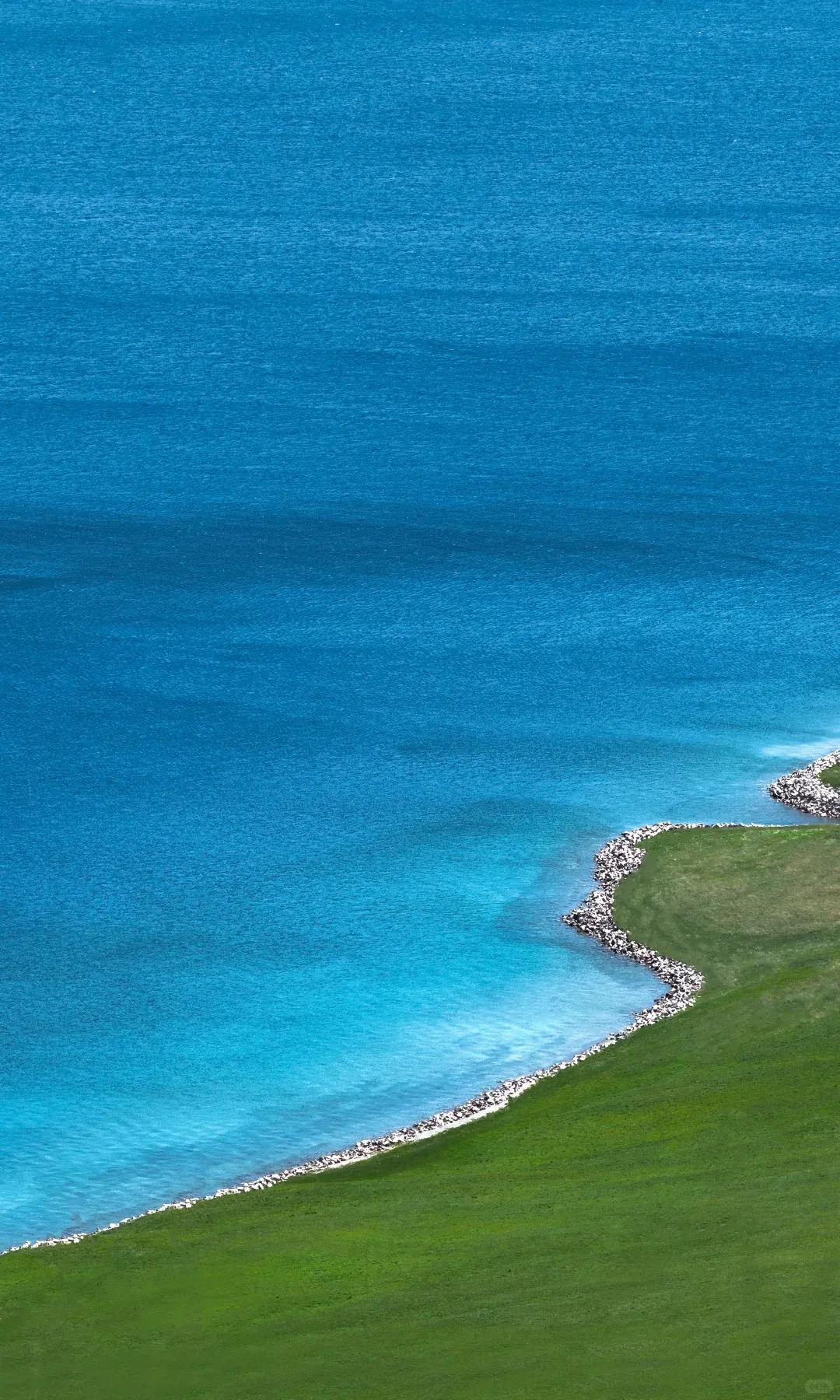
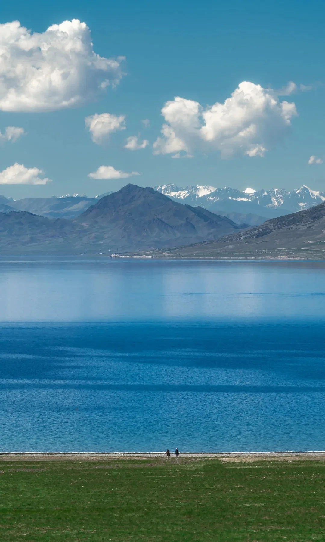
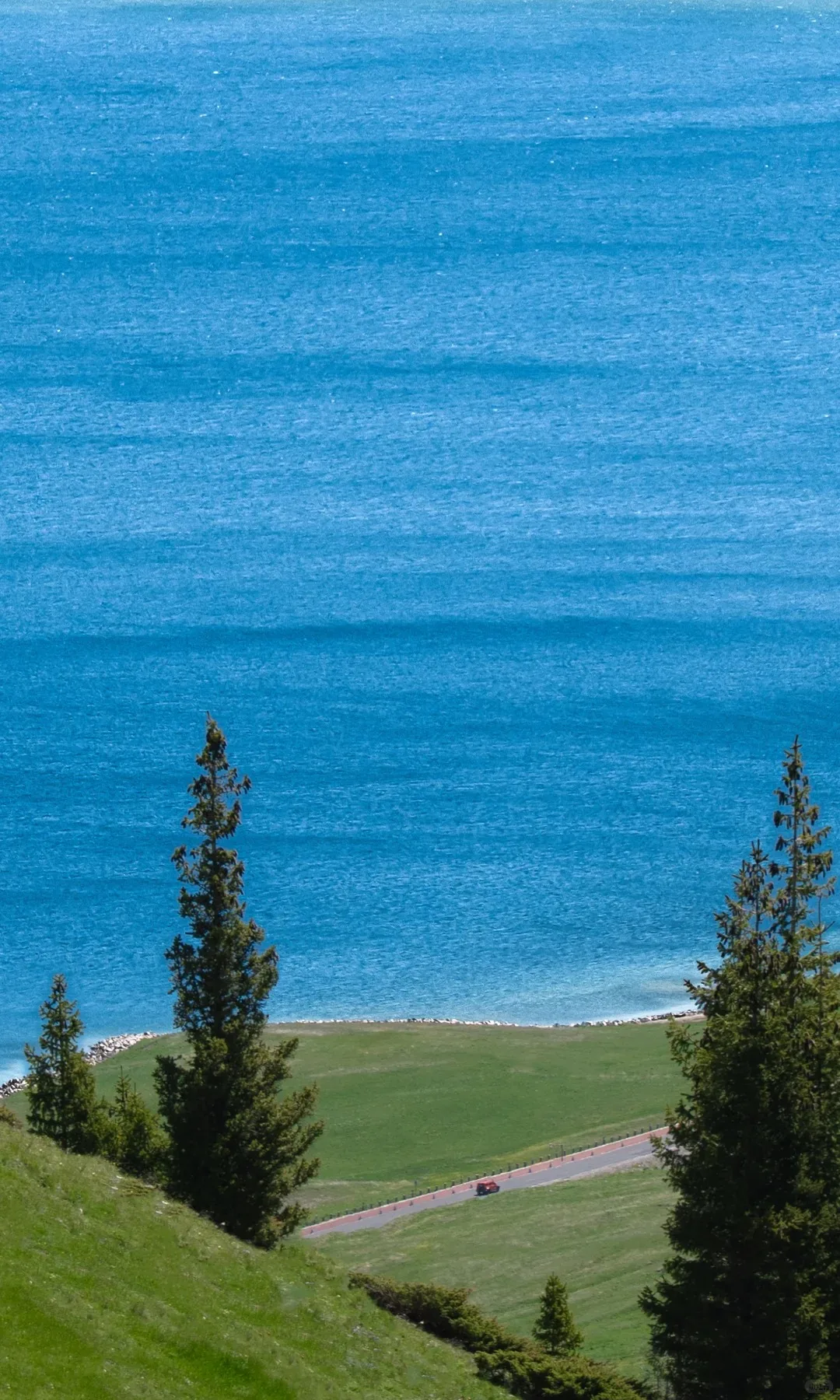
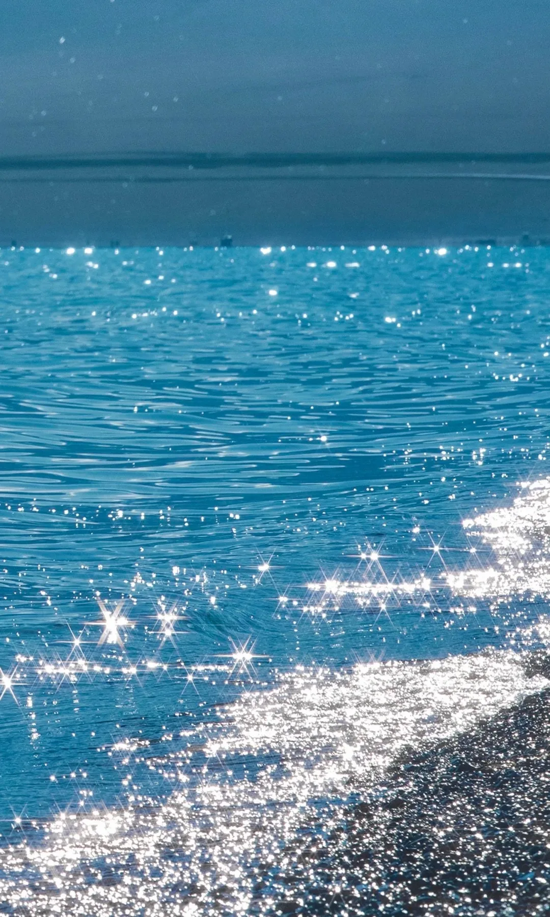
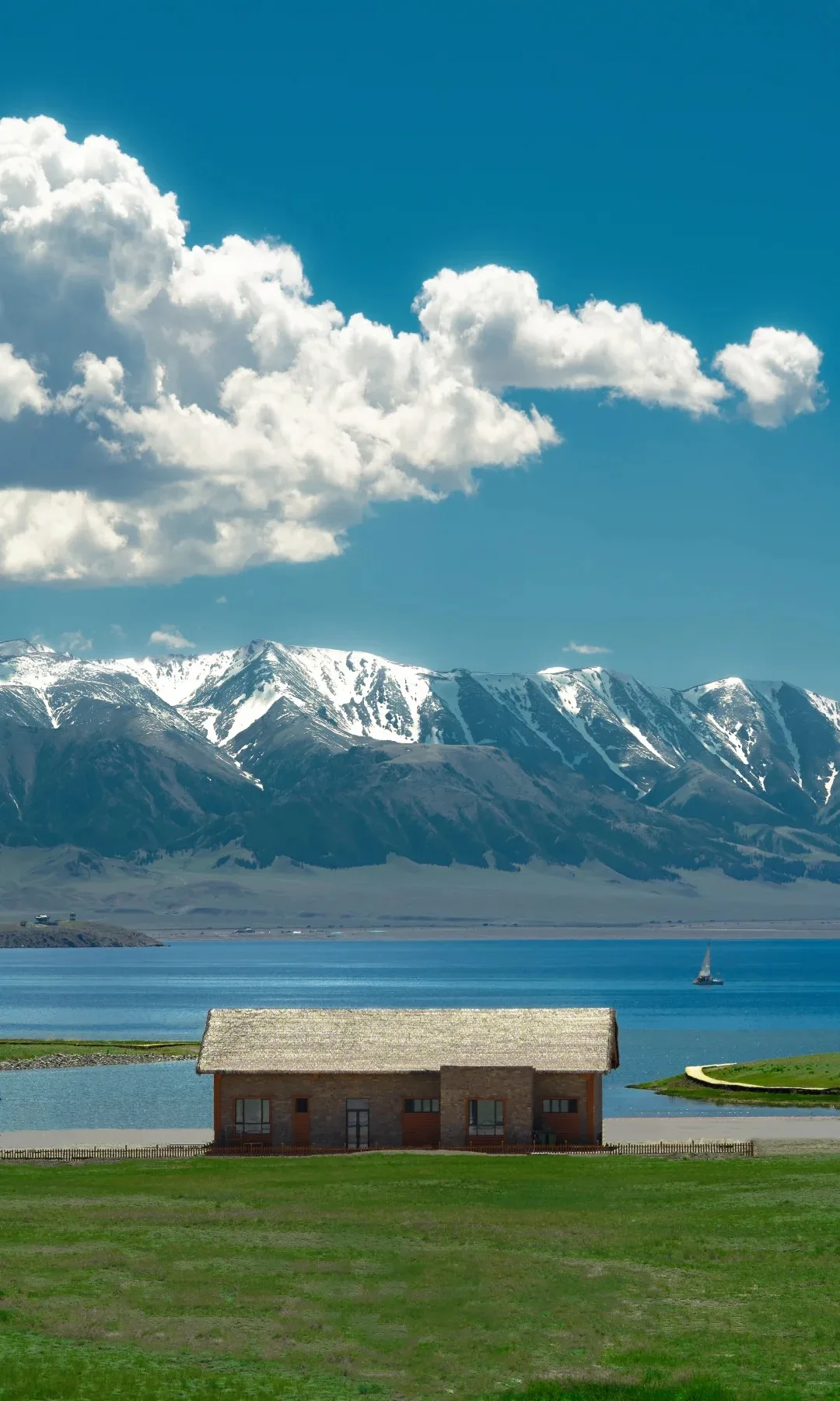
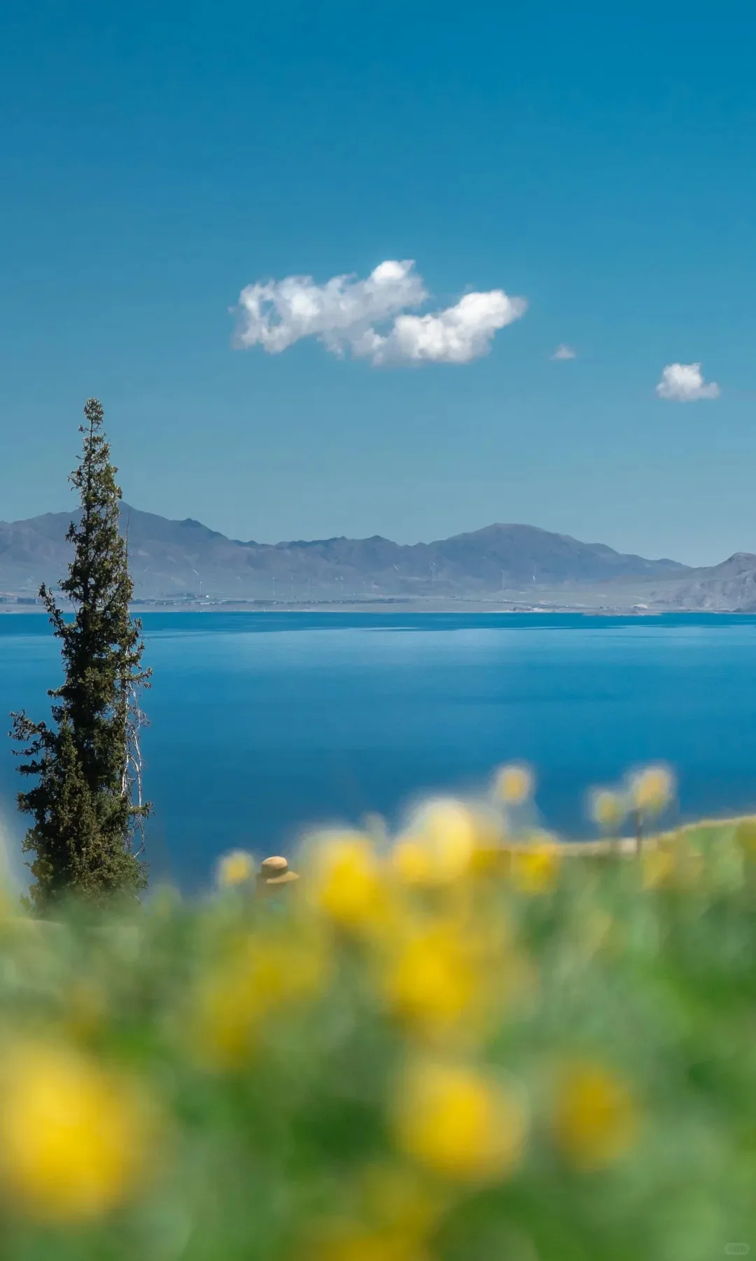
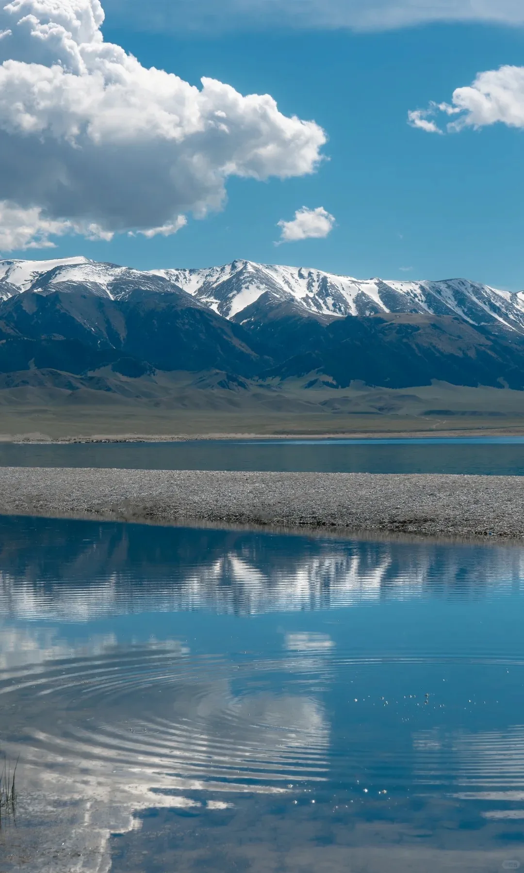
Sayram Lake, 70 yuan, is a cold high-altitude lake that turns a blue you would not believe was natural on a clear day. The standard way to see it is to cycle or drive the loop, roughly thirty kilometres with a stop at every viewpoint and a different angle at each. Wild flowers cover the slopes in summer, snow peaks sit in the water, and the wind carries the smell of grass. The Guozigou bridge crosses the valley nearby and its head-of-bridge viewing platform looks out over snow peaks and gorge. On the road from the lake towards Ili you will often pass herders driving sheep on horseback.
Kashgar old town: lanes laid out like a maze
Kashgar is the centre of the south and its old town is free to enter, which is why almost nobody travelling in the region skips it. The lanes run off in every direction like a maze, and the earth-yellow walls give off a warm light in the sun. Children run laughing around a corner, old men sit in doorways, craftsmen tap at copper in their workshops. The Gaotai mud-brick houses, the craftsmen’s bazaar and the old teahouses all deserve time. Give yourself an afternoon of doing nothing much at the mouth of an alley, watching the street go by; it teaches you more about the place than ticking off sights.
Id Kah Mosque and the hundred-year-old teahouse
The Id Kah Mosque is the landmark of the old town, 45 yuan to enter, one of the largest in Xinjiang and grave and elegant in its building style. Dress modestly, keep your voice down, and do not point at or touch religious objects. The century-old teahouse next door draws visitors and locals alike: order a pot of brick tea, take a seat by the carved window on the first floor, and watch the crowd in the street with the minaret beyond it — a working street scene in one frame.
Eating in Kashgar: baked buns, mug stew and brick tea
The baked buns here are the large kind, crisp outside the moment they come out of the oven and full of juicy mutton inside. Mug stew is mutton soup simmered in an enamel mug, clear broth and tender meat, and with a piece of naan it makes a simple, generous lunch. Snack stalls fill the old town, none of them expensive, and you can eat your way along. For a proper meal, Kashgar has plenty of decent places for pilaf, big-plate chicken and skewers.
Heading south: the Pamir plateau and Tashkurgan
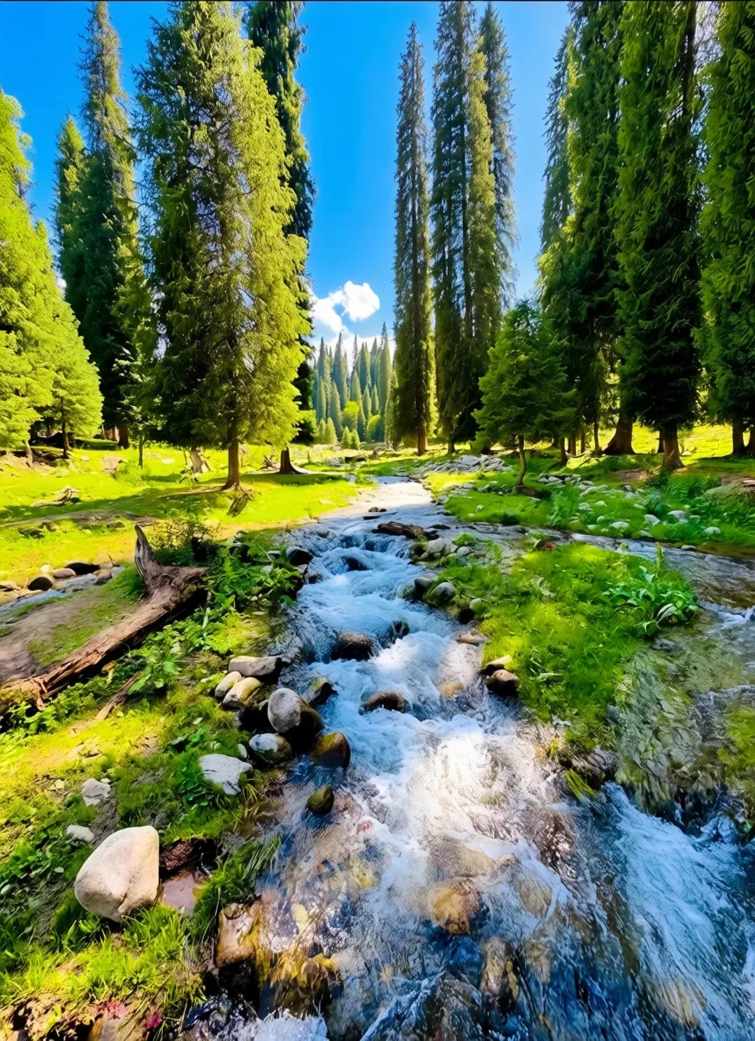
Leaving Kashgar southwards the road begins to climb and the Pamir plateau opens up in front of you. Tashkurgan is the end of this line, and along the way you see Muztagh Ata and Karakul Lake, the lake 45 yuan to enter. Muztagh Ata stands over 7,500 metres but does not look severe; the water holds the snow peak, and on a still day mountain, cloud and snow merge into one thing. The Khunjerab pass was once among the highest border crossings in the world and is now closed to visitors — you can only look in its direction from a distance. A border permit is needed for this route.
Hotan: a day among the jade stalls
Hotan is known as the home of jade, and if stones interest you, the Hotan jade bazaar is worth a wander. Stalls carry river pebbles and mountain rough, from small pieces at a few hundred yuan to good material at five figures. You do not have to buy anything — watching a dealer study a stone through a loupe with total concentration is entertainment in itself. If you do intend to buy, do some homework first or bring someone who knows the market.
Crossing the Taklamakan: the road that runs straight to the horizon
From Hotan a desert highway cuts straight across the Taklamakan, a route self-drive travellers keep on their list. Start from Minfeng and head northwest; the road runs to the horizon with dunes rolling away on both sides. There is no water and no supply point out there, so carry more than enough of both and travel in convoy, two or three vehicles at least. Sandstorms can be severe in spring and autumn — check the forecast, and if the wind picks up, wait a day rather than push on.
Turpan: the Flaming Mountains and the karez wells
Turpan is the heart of the east. The Flaming Mountains, 40 yuan, are red rock that looks like a fire under high heat and famous across China through Journey to the West. Turpan is brutally hot in summer, surface temperatures often above 40 degrees by day, so go early or late. The karez wells, 40 yuan, are an underground irrigation system the ancients built to bring Tianshan meltwater to the fields, ranked with the Great Wall and the Grand Canal among China’s three great ancient works. Step into the tunnel and the air turns cool while the channel runs past your feet.
Grape Valley, Jiaohe and Gaochang
Grape Valley has been free to enter since May 2025 and is the sweetest corner of Turpan. Vines fill the valley, and in the August-September season bunches hang from the trellises; you can taste the fresh fruit and watch Uyghur song and dance. Jiaohe and Gaochang, the two ruined cities, are 70 yuan each. Jiaohe was built on a sheer river terrace with its streets cut down into the ground; Gaochang is larger, and its surviving walls and stupas still carry weight. Half a day each is about right.
Hami: the tomb of the kings and Barkol grassland
Hami is the other stop in the east. The tomb complex of the Hami kings, 30 yuan, mixes Chinese and Islamic elements in a way that is hard to find elsewhere. With time to spare, carry on to Barkol grassland for a different flavour of pasture, emptier and more austere than the country north of the Tianshan. Hami is also the first stop when you enter Xinjiang from the east, and its melons are famous — passing through in summer puts you there for the season.
Fifteen to twenty days: one loop that takes in the best of it
With fifteen to twenty days, the loop worth taking runs like this: start in Urumqi, go first to Tianchi, then north by way of Koktokay to Burqin and on to Kanas and Hemu. That stretch holds the most spectacular scenery in the region. From there head south past the Urho ghost city for the strange beauty of yardang landforms, then from Karamay to Sayram Lake, and on into the Ili valley for Nalati and Bayanbulak. Past Kuqa you are in the south, and Kashgar is the finish. Do that circuit and you have both the forests and grasslands of the north and the oasis culture of the south.
The Duku highway: a few months of China’s most beautiful road
The Duku highway runs from Dushanzi to Kuqa, cutting through gorge, snow peaks and grassland with an unusual richness of scenery; it is called the most beautiful road in China and is only open from June to October. There are many mountain sections and sharp bends, so watch your speed and the weather. When rain makes the surface slippery, stopping to wait beats taking the risk. Give the drive a full day and spend it where you actually want to stop.
Photography and hands-on experiences: taking Xinjiang home
Photographers should aim for late September into early October, the finest window at Kanas, Hemu and Baihaba, when morning mist and late light turn whole valleys warm and the birches glow against the sun. For deeper work, local photo tours know the positions and the timings. In Kashgar you can join a craft session in the old town and learn to make a Uyghur embroidered cap or shape a piece of pottery; for something livelier, the old town square hosts meshrep song and dance in the evening. Out on the Ili grassland you can stay in a yurt, ride, and camp, with stars at night and dew underfoot on a morning walk to the pasture.
Xinjiang is a place that makes you step back. At 1.66 million square kilometres it is the kind of land you may have to return to several times before you have seen it. For a first trip, pick one season and one direction and give it ten days or more. It asks nothing of you that resembles conquest or hurry — only that you slow down, walk in, and let the scale of the place settle around you.
Practical information
- Best seasons: late September into early October is the finest window at Kanas, Hemu and Baihaba, with morning mist and late light warming the valleys. For grassland in flower, choose June to August, when Nalati and Kalajun are at their greenest. July to October is the richest stretch for fruit.
- Getting around: Urumqi’s Diwopu International Airport is the main hub, with direct flights from Beijing, Shanghai, Guangzhou and Chengdu. Once in the region you can fly on to Kashgar, Yining or Altay and save a lot of road time. The Lanzhou-Xinjiang high-speed line links Urumqi with Lanzhou and Xi’an, and the southern line reaches Kashgar and Hotan; overnight sleepers are an economical choice. Many sights sit off the main routes, so you will still need a hired car or your own vehicle from the station.
- Border permits: Baihaba, Tashkurgan and other border areas require a permit arranged in advance, either at the police service hall where you are registered or at designated offices in Xinjiang. Confirm the current procedure before you travel.
- Local hours: Xinjiang runs on Beijing time, but daily life starts about two hours later — breakfast usually after nine, lunch around two in the afternoon, dinner after eight in the evening. For the first day or two, restaurants may seem to open late.
- Connectivity: cities have 4G and 5G coverage, but in remote scenic areas and on parts of the desert highway the signal is weak or absent altogether. Download offline maps and a translation app before you set out.
- What to eat: the cooking runs on mutton, beef and wheat — big-plate chicken, pilaf and grilled skewers are all essential, and the mutton in a good pilaf is braised soft with the rice separate and glossy. If mutton is not for you, there are Han and Sichuanese restaurants almost everywhere. Turpan grapes, Hami melons, Korla pears and Kashgar pomegranates are the headline fruit.
- What to wear: the day-night temperature swing is wide, especially in the mountains and grassland of the north; short sleeves by day, a shell jacket after dark. Summer sun is strong, so carry a hat, sunglasses and sunscreen. The south is dry: drink more water and bring lip balm. In winter Kanas and Hemu lie under deep snow and many roads close, so take extra care.
Related reading
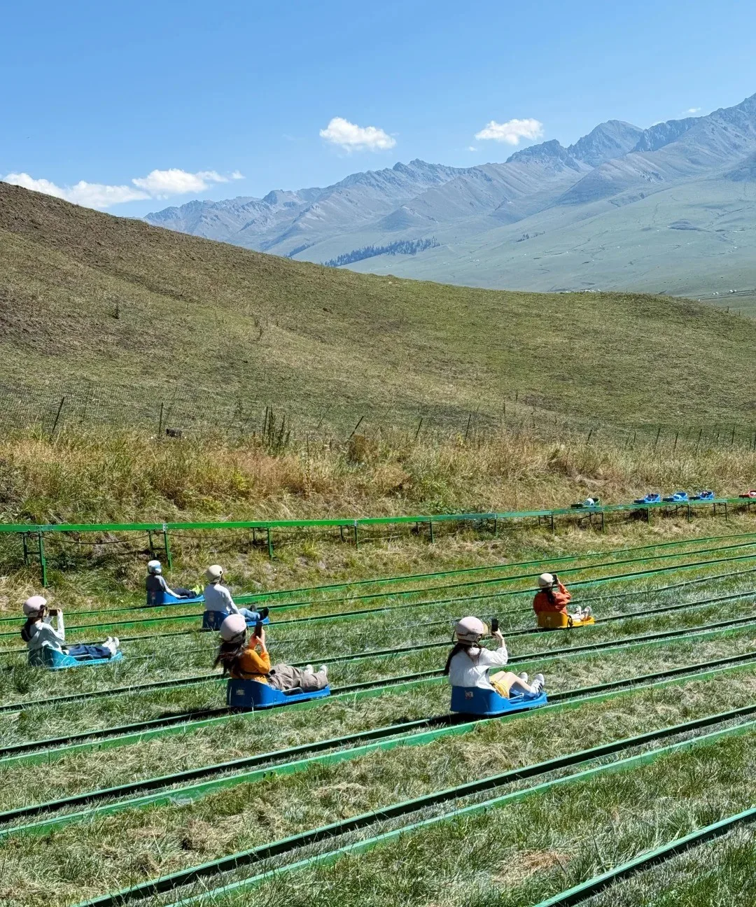
Nalati Grassland: The "Sky Prairie" Hung on the Tianshan
At the eastern end of the Ili Valley and above 1,800 m, Nalati is called the "Sky Prairie". From June to September green waves roll and wildflowers carpet the ground, while Kazakh herders have grazed here for generations. Drive from Yining or fly to Nalati airport.
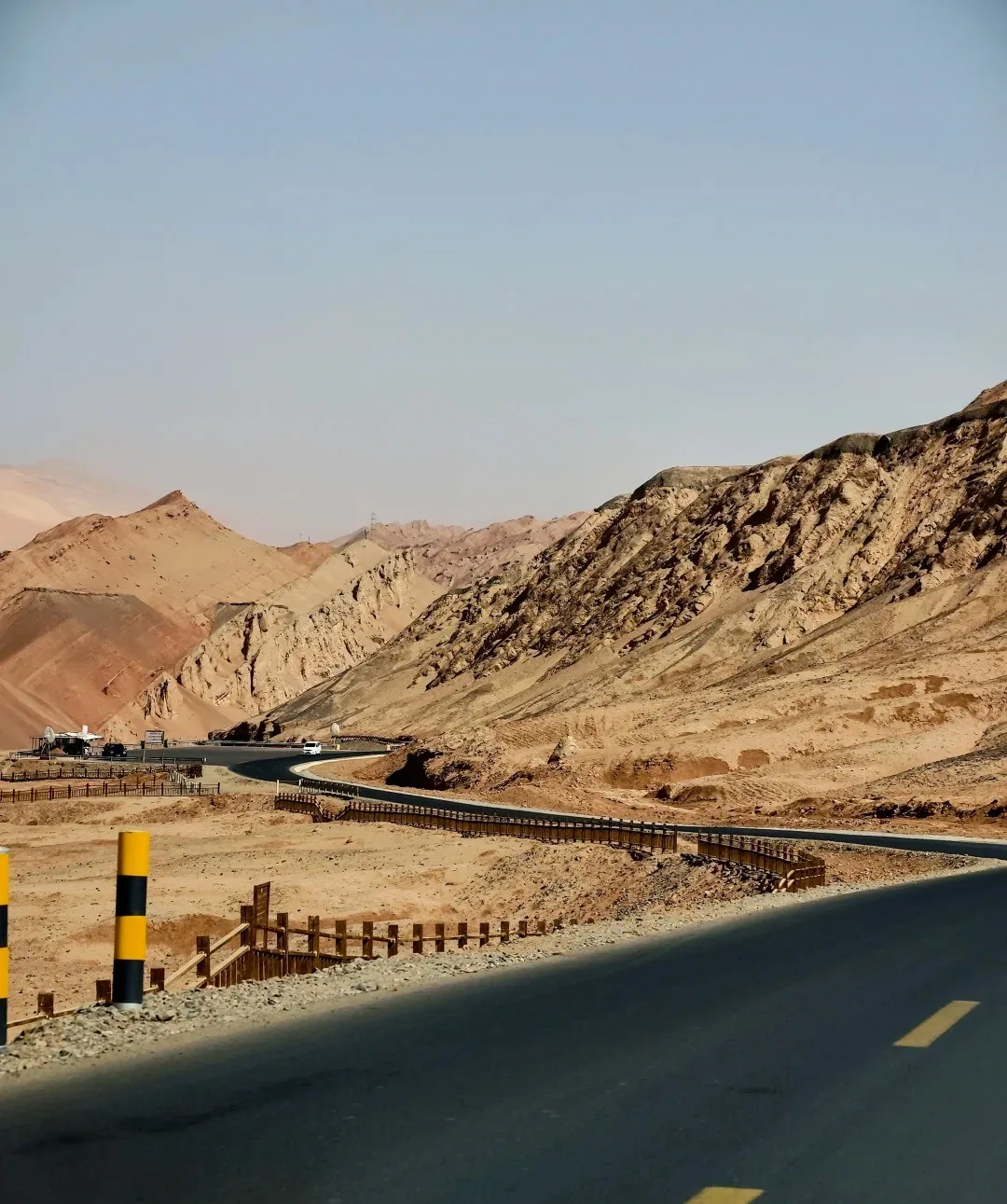
Turpan Flaming Mountains: A Fiery Legend from Journey to the West
The Flaming Mountains run 98 km along Turpan's northern basin, famed as the "eight-hundred-li flame" of Journey to the West. Peak 831.7 m, summer ground hits 82.3 °C.
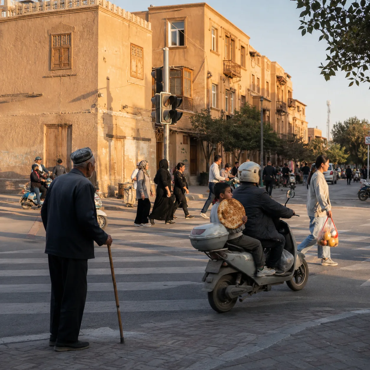
In Kashgar, It Was Not a Landmark but a Fresh Naan Beside the Crossing That Made Me Stop
A crossroads in Kashgar is like an eye that never fully sleeps, watching people from every direction gather slowly and disperse again. I stood at an intersection near the old city
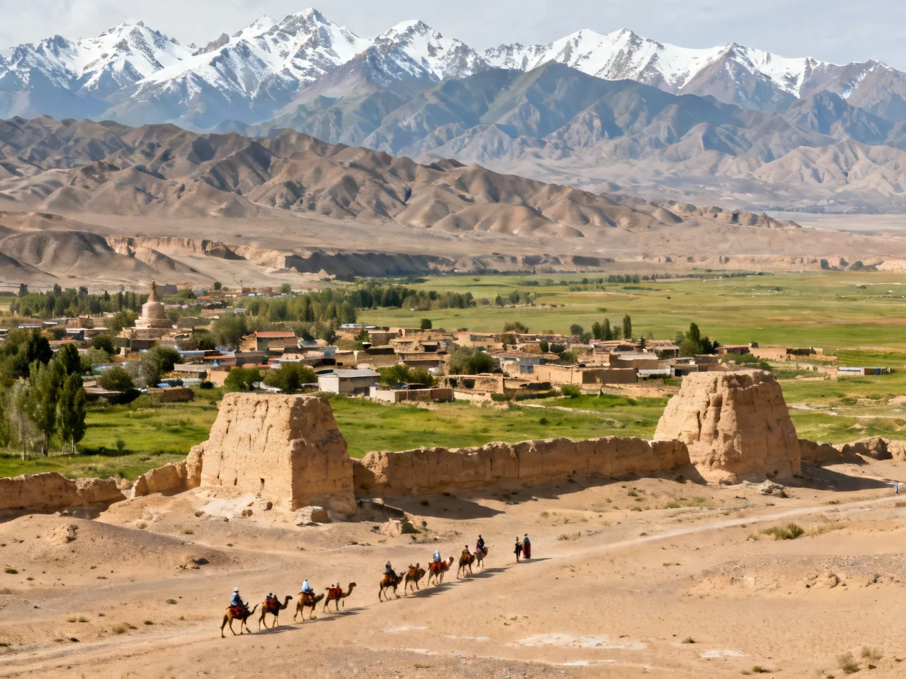
14-Day Silk Road In-Depth Itinerary
The Silk Road is not just a route — it's a fold in time, walked by merchants, monks, and envoys for two millennia. This itinerary begins in Xi'an, cuts through the Hexi Corridor of
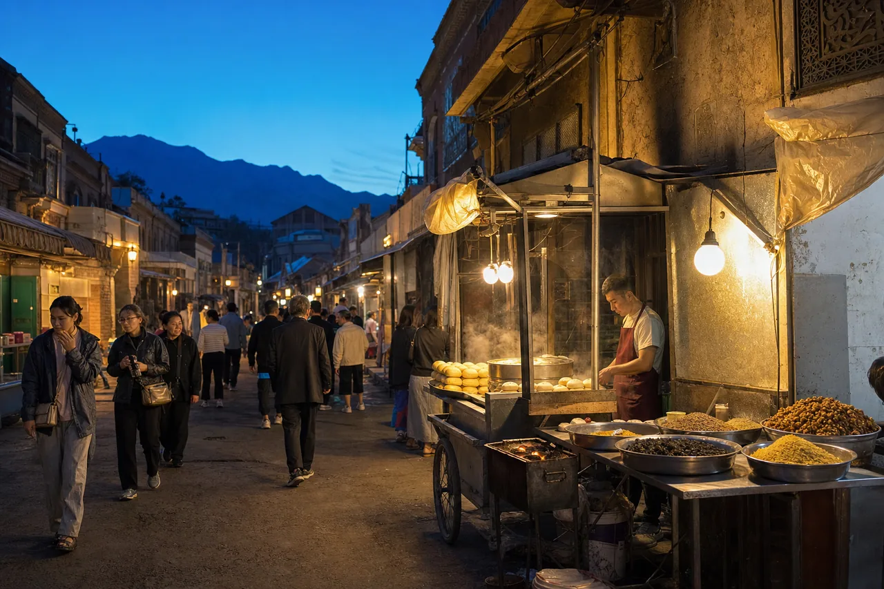
Once the Old-Street Lights Came On in Urumqi, Cumin and Voices Warmed the Night
Night in Urumqi does not fall all at once. It comes like a piece of blue velvet slowly pushed from the foot of the Tianshan Mountains, first covering distant rooftops, then treetop