 Travel Notes
 #新疆
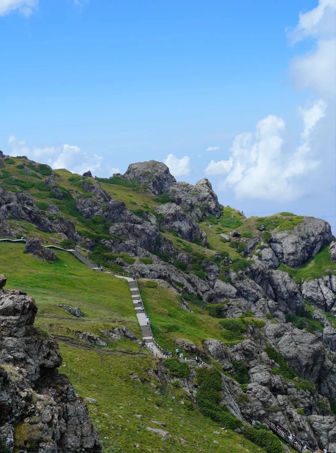
Tian Shan Tianchi: A Highland Lake Beneath Bogda Peak
Nestled north of Bogda Peak, Tianchi is a glacial lake fed by snowmelt at 1,910 m. The legendary "Yaochi" of Chinese myth, it is now a 5A scenic area where snow peaks, spruce and water share one frame. Peak and off-season pricing differ sharply.
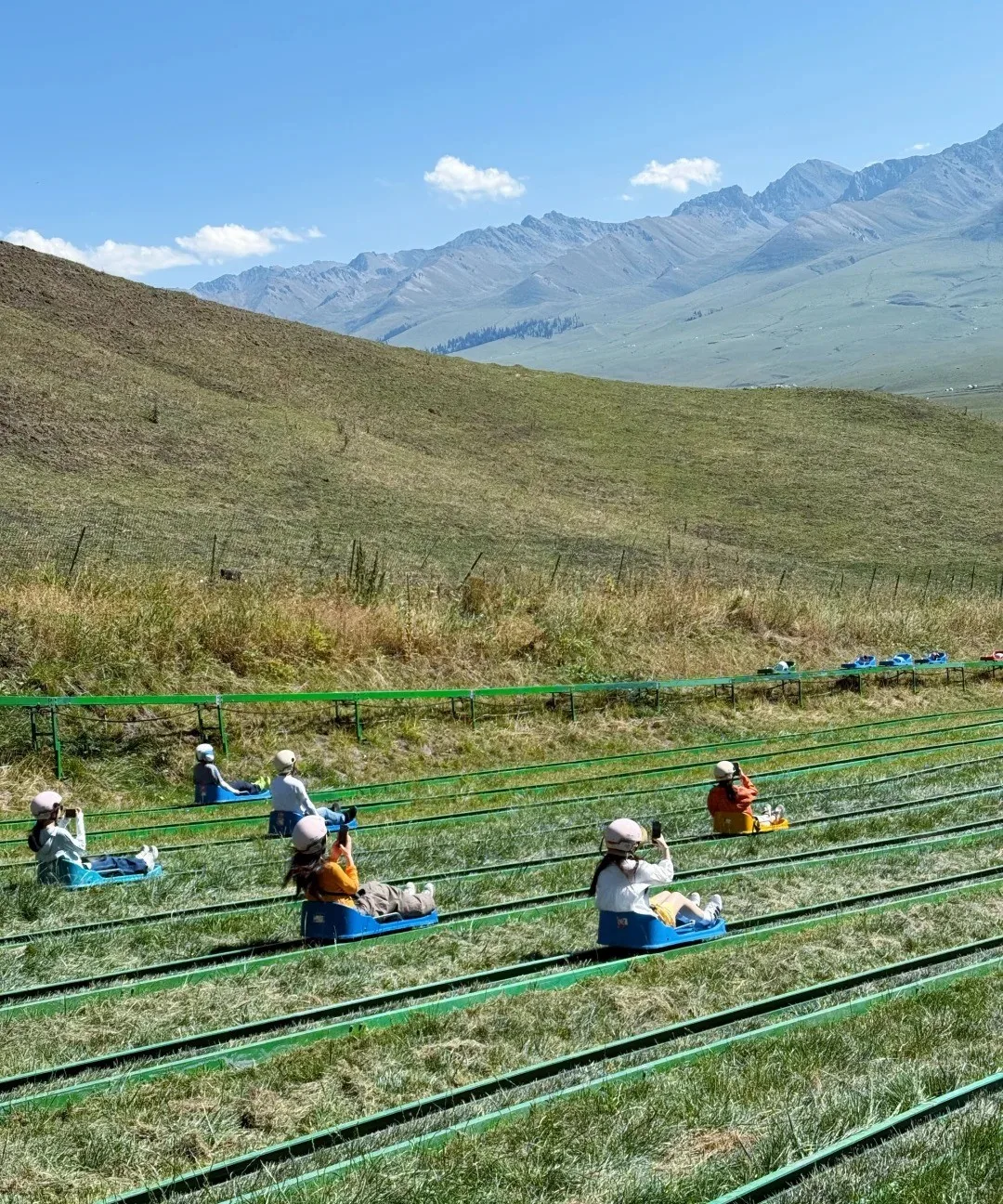
Nalati Grassland: The "Sky Prairie" Hung on the Tianshan
At the eastern end of the Ili Valley and above 1,800 m, Nalati is called the "Sky Prairie". From June to September green waves roll and wildflowers carpet the ground, while Kazakh herders have grazed here for generations. Drive from Yining or fly to Nalati airport.
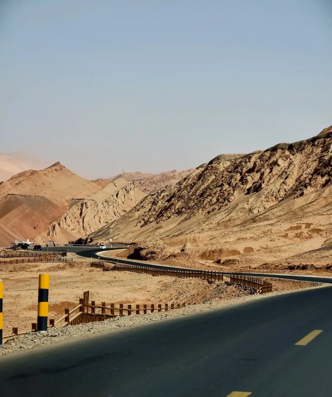
Turpan Flaming Mountains: A Fiery Legend from Journey to the West
The Flaming Mountains run 98 km along Turpan's northern basin, famed as the "eight-hundred-li flame" of Journey to the West. Peak 831.7 m, summer ground hits 82.3 °C.
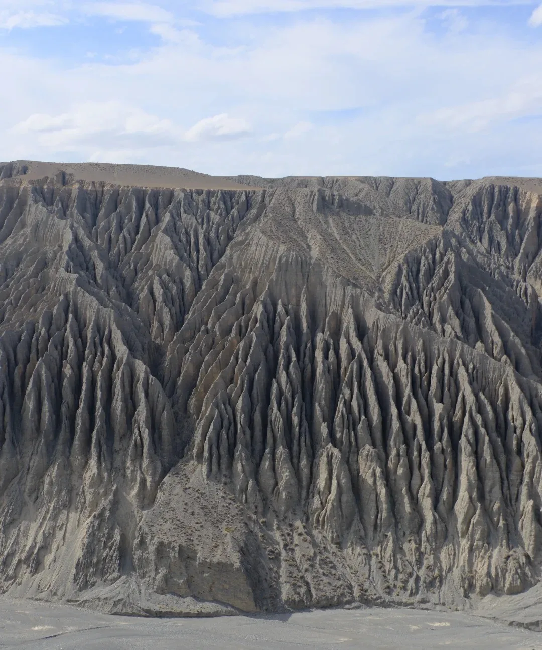
Dushanzi Grand Canyon: A Red Rift at the Foot of the Tianshan
Tucked in Dushanzi District of Karamay, this red canyon was carved by the Kuytun River over millions of years. Near-vertical walls show red, yellow and grey strata; dawn and dusk light it best. A glass walkway and cliff swing wait for the brave.
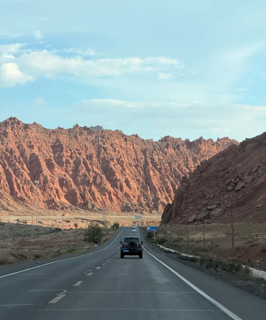
Duku Highway: A Scenic Corridor Through the Tianshan
The Duku Highway is the Dushanzi–Kuqa stretch of G217, about 561 km long, crossing the Tianshan to link northern and southern Xinjiang. Snow peaks, canyons and meadows take turns along the way, earning it a place among China's most beautiful roads. Open only June to September, it tops many road-trip wish lists.
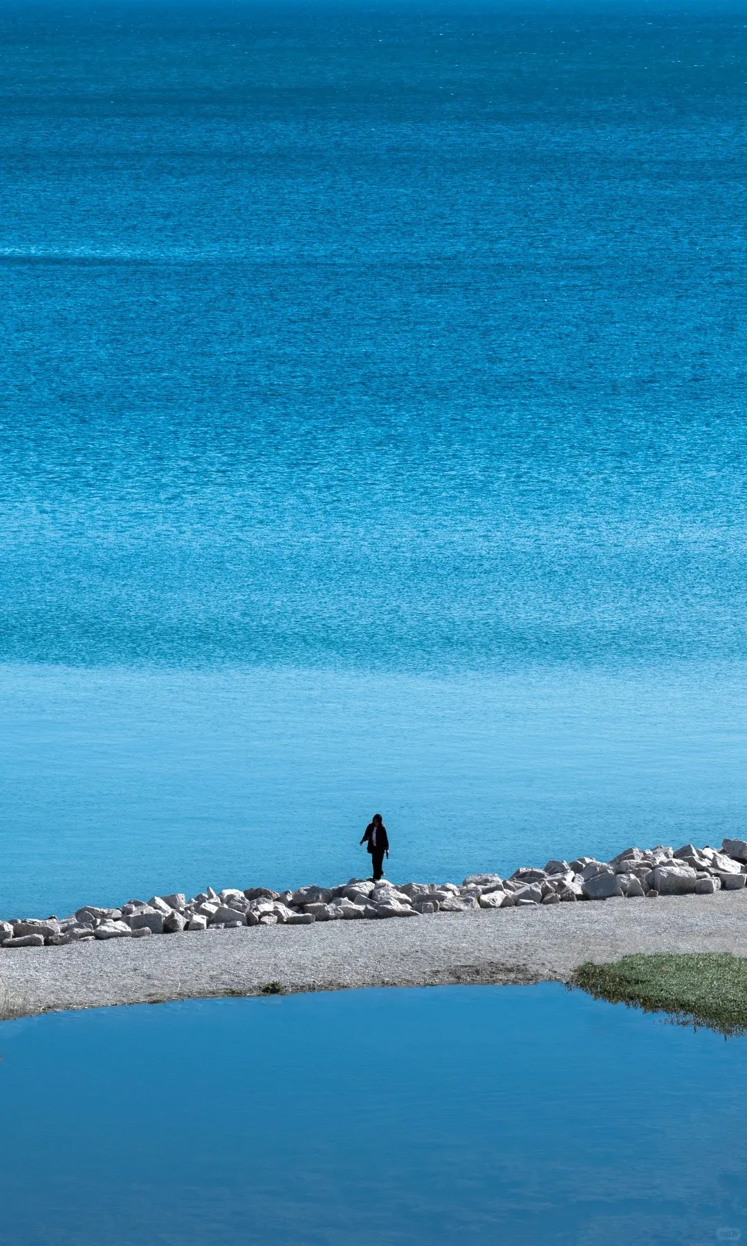
Xinjiang: 1.66 Million Square Kilometres, from Kanas to Kashgar
The Xinjiang Uyghur Autonomous Region covers 1.66 million square kilometres in China's far northwest, the largest province-level area in the country. Three mountain ranges holding two basins string together glaciers, grassland, desert oases and Central Asian old towns along one route. Locals divide it simply: nature in the north, people in the south, the Silk Road in the east. Kanas Lake and the timber houses of Hemu, the layered grassland of the Ili valley and Sayram Lake, the lanes of old Kashgar and the Pamir plateau, the jade bazaar at Hotan and the Taklamakan highway, the Flaming Mountains and the karez wells of Turpan.