 Travel Notes
 Badaling: The Pass Worth Climbing, and the Trait It Cut Through
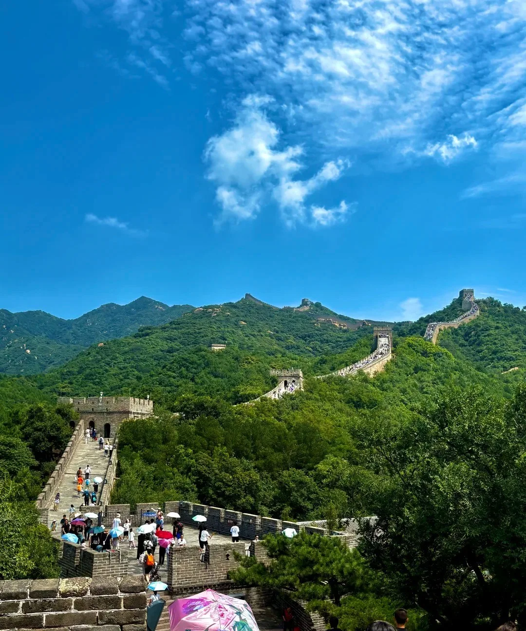
At the northern mouth of the Guan ravine, in the Jundu hills of Yanqing district, Beijing, stands the best-preserved and most representative Ming stretch of the Great Wall — and the first section the public was ever allowed onto. In 1987 the whole Wall was inscribed on the World Heritage list, with Badaling named as one of its most outstanding parts. In 1961 it became a national heritage site, first batch.
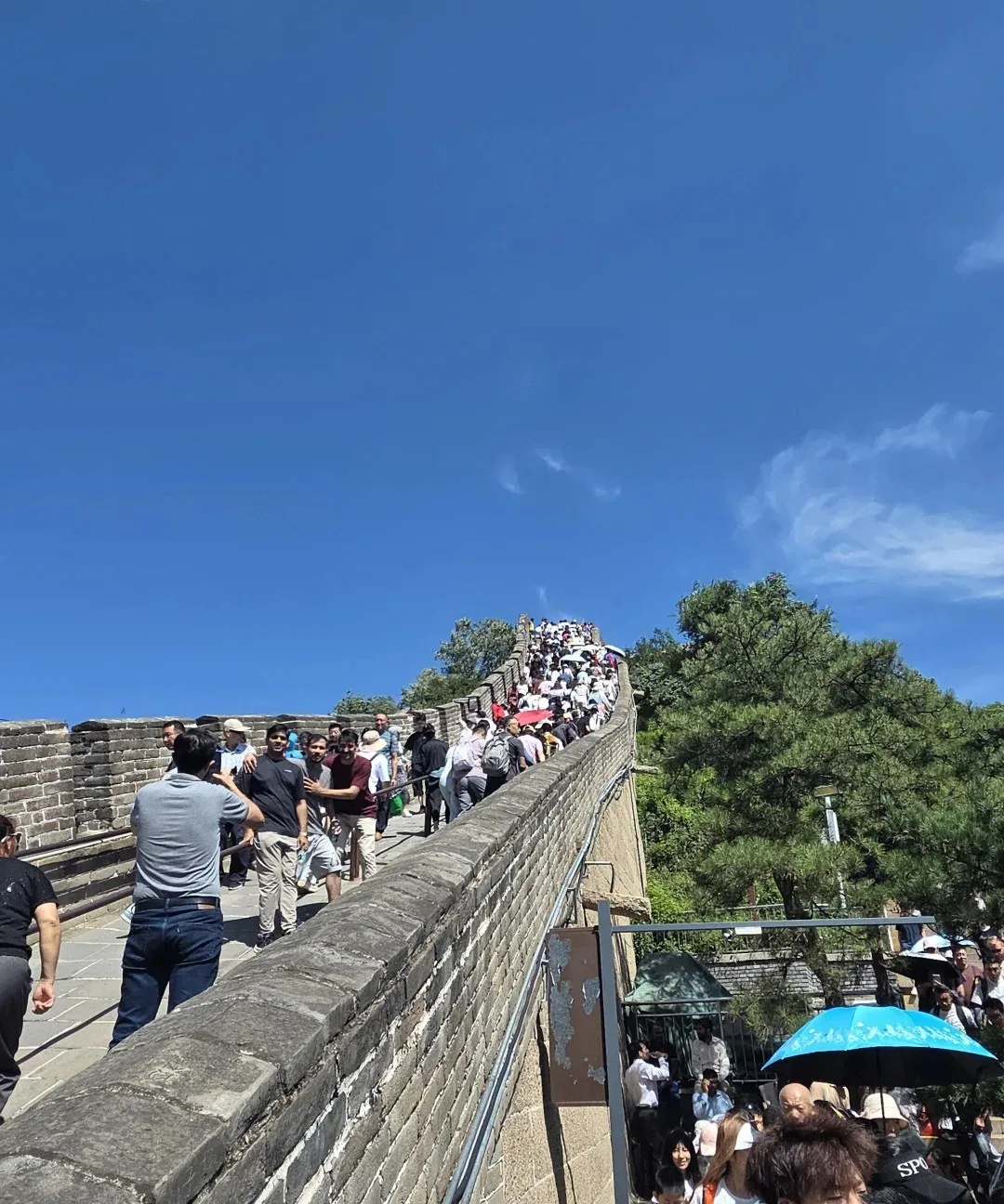
The numbers, without decoration
- Where: northern mouth of the Guan ravine, Jundu hills, Yanqing, altitude about 1,000 m
- Built: large-scale works from 1505 (Ming Hongzhi era) through the Wanli years
- Wall: some 3,741 metres open to walkers
- Towers: nineteen — four in the southern section, twelve in the north, three around the pass
- Profile: about 7.8 m high on average, 6.5 m at the base, 5.7 m along the top, wide enough for five horses abreast or ten men shoulder to shoulder
- Status: World Heritage 1987; national heritage, first batch, 1961
A top wide enough for ten people to walk in line is genuinely unusual for hill country. The wall was built to military standards — horses must pass, ranks must form — not to sightseeing standards.
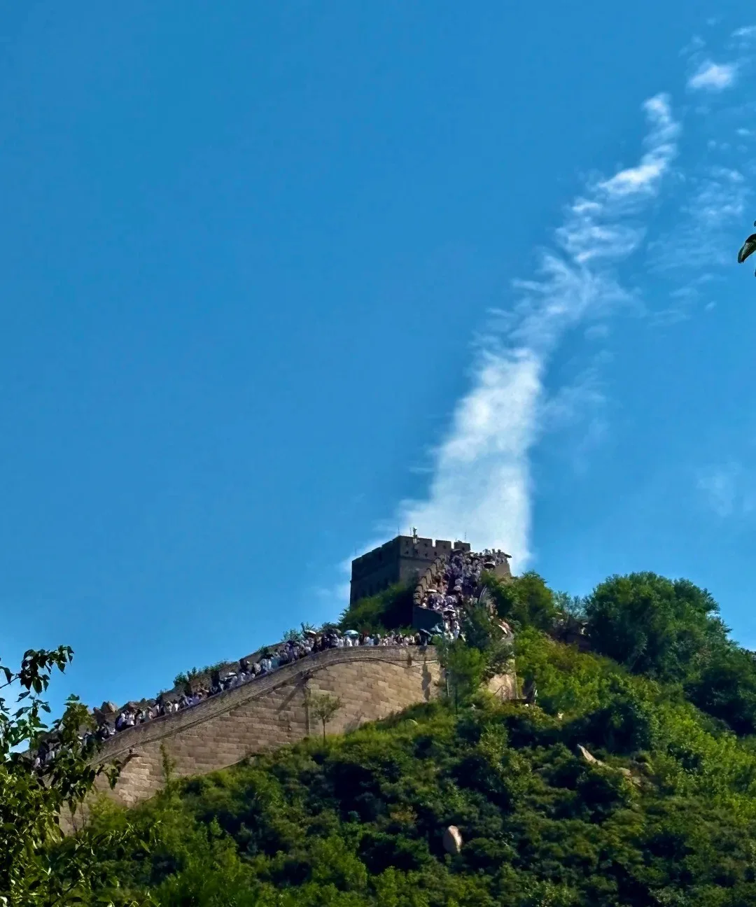
From rammed earth to brick
The walling here is far older than the Ming. According to the Records of the Grand Historian, the state of Yan built frontier walls against the Donghu and other steppe peoples; surveyors have found rammed-earth remains of that early wall along the ridges flanking the Guan ravine. The Northern Qi (550–577) also repaired and extended this stretch against the Tujue and Khitans.
What gives Badaling its present shape is the Ming work. Brick facing and stone foundations went in from 1505, with further reinforcement through the Wanli era, producing the dense ladder of beacon towers and the thick wall we see. Nothing major changed for the next three centuries.
The Guan ravine: one corridor walked repeatedly
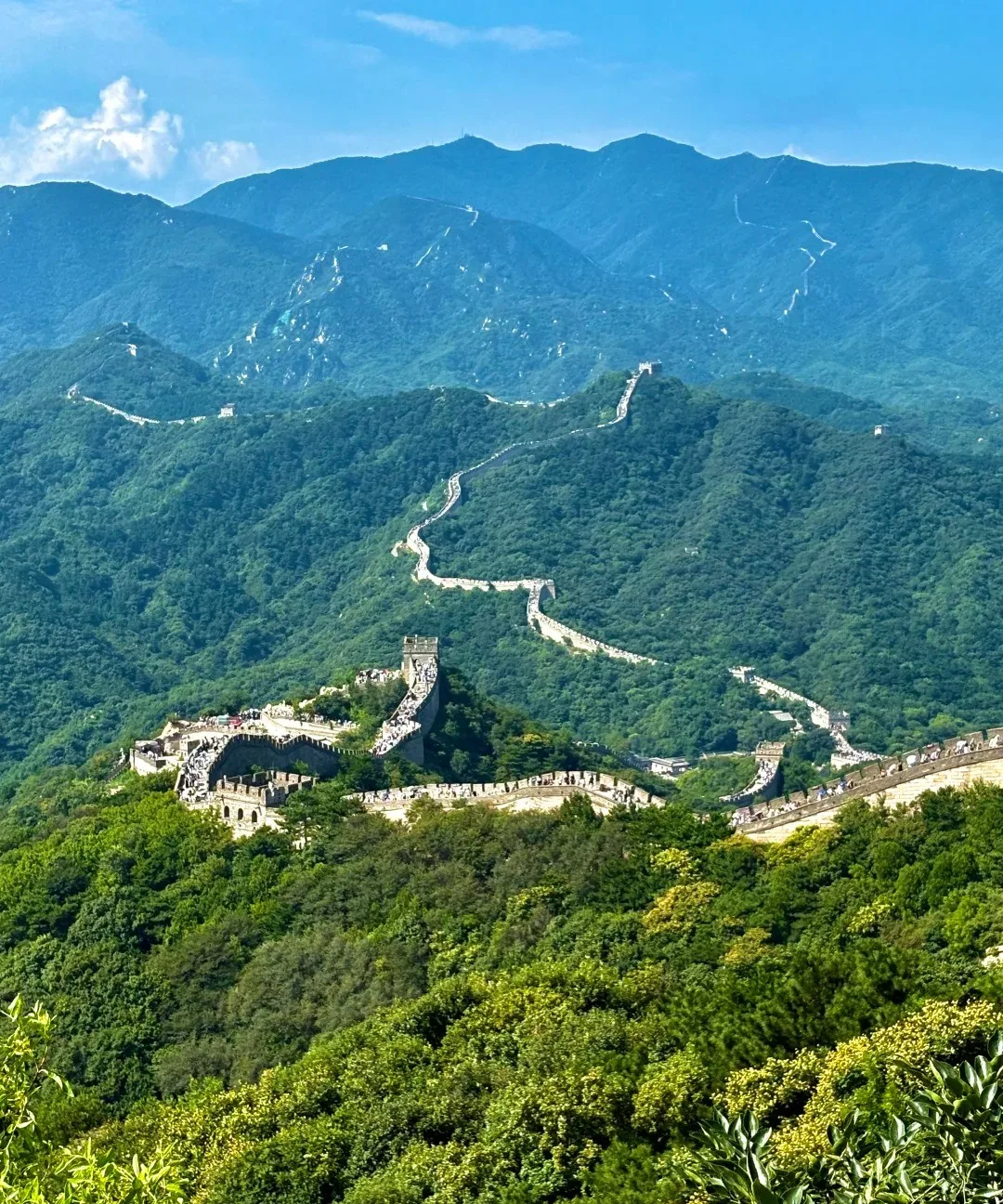
Badaling is Badaling because of the ravine. This valley corridor runs some fifteen kilometres from Juyongguan north over the Jundu hills and on to Yanqing and Chicheng — a pass between the North China plain and the Mongolian plateau for as long as people have needed to cross it. Soldiers built walls here; caravans and envoys filed through. Today’s highway and railway follow roughly the same valley, and from a high point it is easy to see why holding this spot mattered.
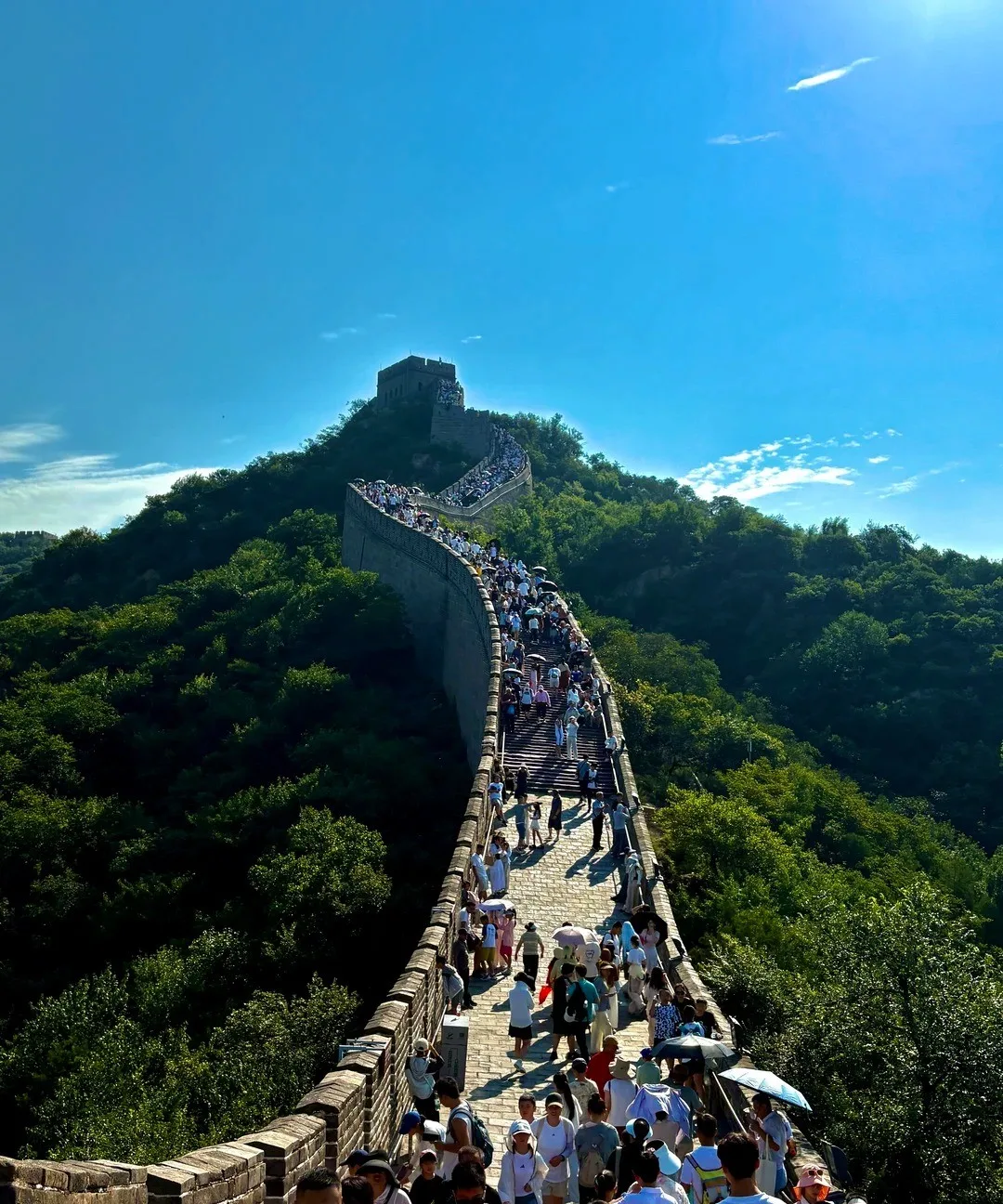
How to climb it without quitting halfway
- The northern section (north of Badaling Tower) is the steep one: sharp gradient, dense steps. If your legs are doubtful, turn back at Badaling Tower.
- The southern section is gentler and suits older visitors and children; fewer towers, more open views.
- The full 3,741 metres takes two to three hours at a normal pace; in summer go up on the first bus of the day.
- It is windy and colder up top even in July, so bring a jacket; in winter the steps ice over, so wear something with grip.
- The towers make good shelters — use them.
Practical information
- Hours: 6:30–19:00 from 1 April to 31 October; 7:30–18:00 from 1 November to 31 March.
- Tickets: 40 yuan peak season, 35 off-peak; half price for students, subject to official announcements.
- Bus: route 877 from Deshengmen, about 1.5 hours direct.
- Rail: the Beijing–Zhangjiakou high-speed line to Badaling station from Beijing North or Qinghe station, roughly 20 minutes, then a short walk.
- Driving: exit at Badaling from the G6 north–south expressway; there is a large car park.
- Tip: check the weather first — the hill runs 3–5 °C cooler than the city. Weekends in season are packed; try a weekday.
Worth combining
Some twenty kilometres south is the Ming Tombs, so the two make a natural day: Badaling in the morning, lunch below, then the tombs in the afternoon. To the west lie the wilder corners of Yanqing — Yuesanxia gorge, the cliff dwellings. Most visitors pair wall and tombs into one trip.
Related reading
Beijing Travel Guide: Three Millennia of Capital, the Central Axis and Seven World Heritage Sites
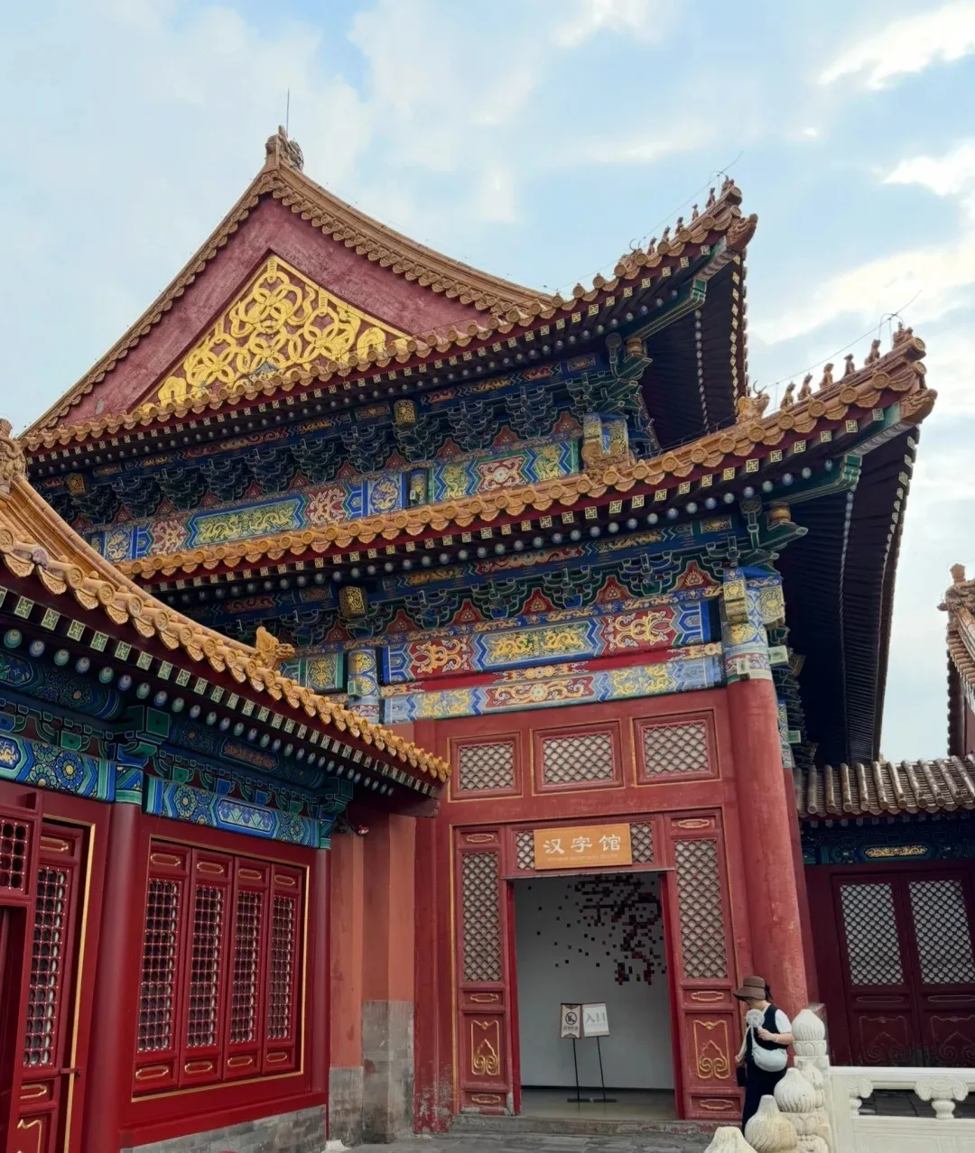
Beijing has three thousand years of city-building and eight hundred years as an imperial capital, with seven World Heritage Sites inside and around it. Here is how to make sense of the city's grand axis and palace complexes — and its equally real daily life in the hutongs.
Temple of Heaven: Where the Square and the Circle Met
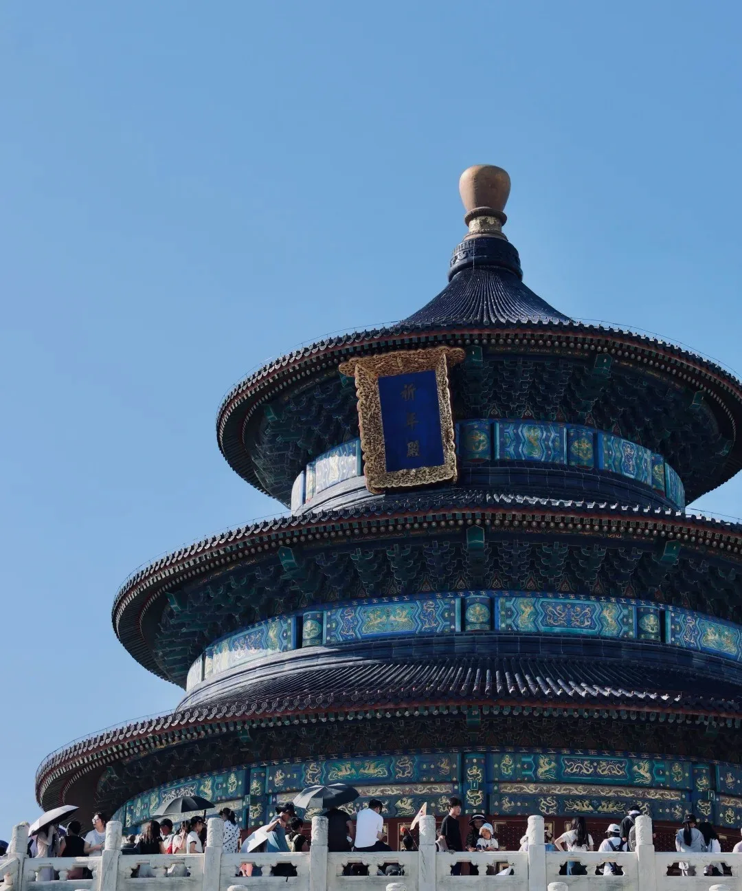
A circle at the north, a square at the south, and a 360-metre stone causeway running between them to the Hall of Prayer for Good Harvests. The Temple of Heaven turned an idea about the sky into a place you can walk through — sound skims along its walls, and every count of stone is a multiple of nine.
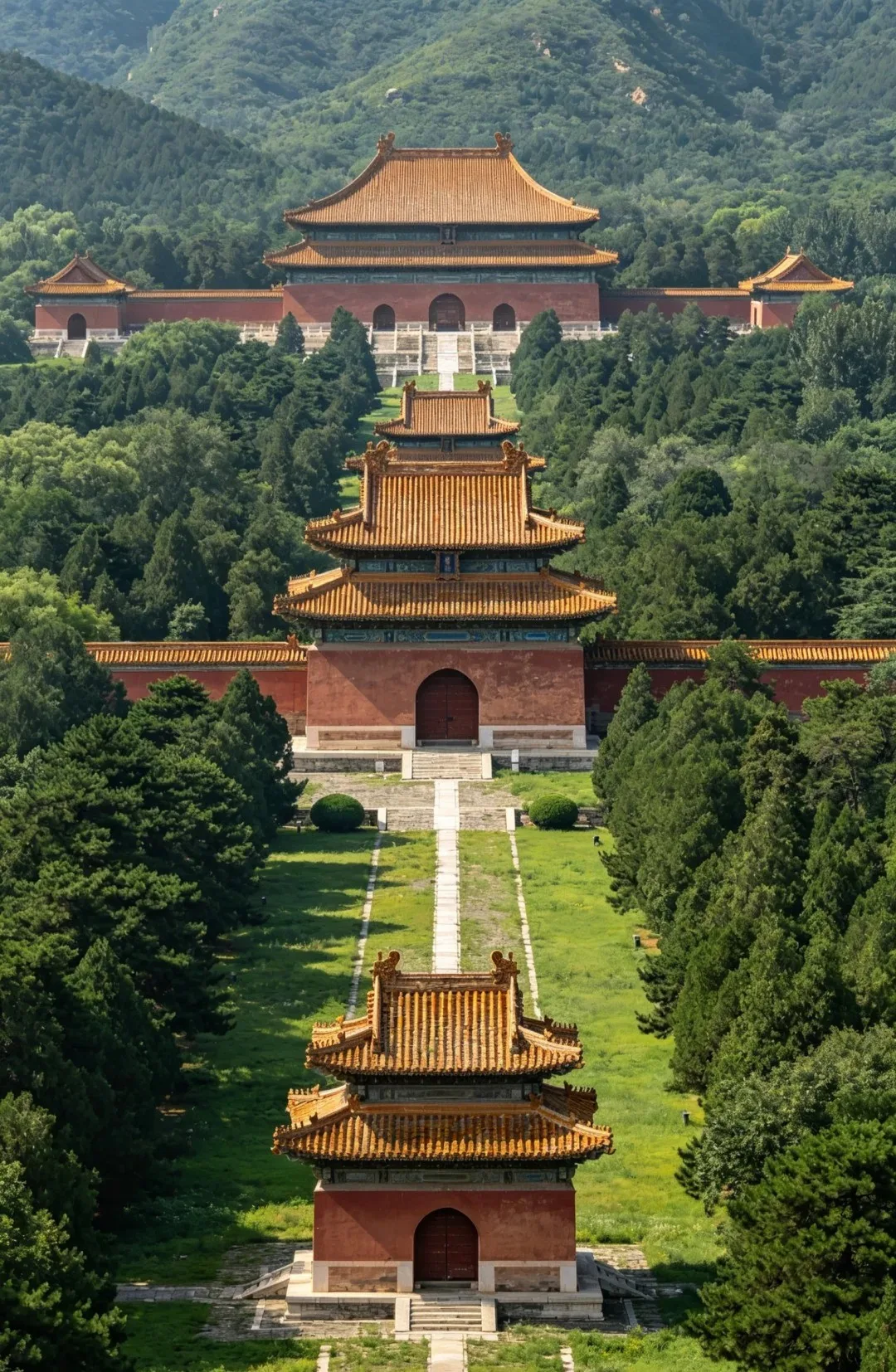
Ming Tombs: Thirteen Emperors in One Mountain Basin
In a forty-square-kilometre basin south of Tianshou Hill lie thirteen emperors of the Ming: the founder's son who moved the capital, the ruler who held no court for twenty-eight years, the last one who hanged himself on Coal Mountain. One stone sacred way, lined with carved animals, links all thirteen.
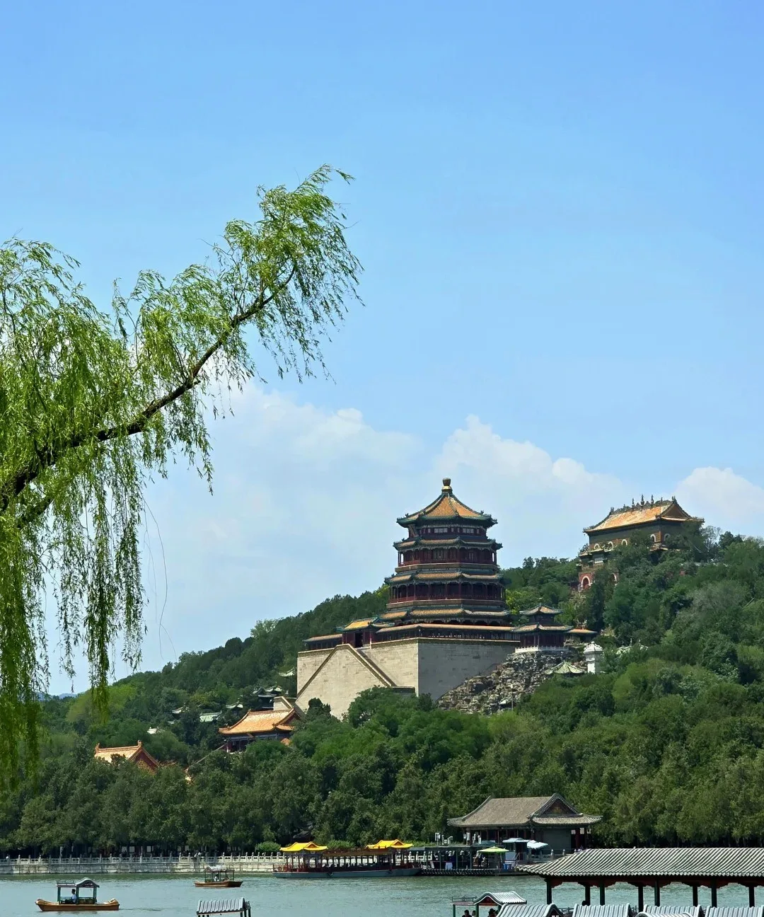
Summer Palace: A Southern Landscape Transplanted to the North
Trying to honour his mother's sixtieth birthday, the Qianlong emperor reworked the western water system and in the process left behind three hundred hectares of lake in north-west Beijing. The long corridor runs 728 metres, Kunming Lake covers 220, and everything else is rockery, colonnades and a stubborn idea of the south.
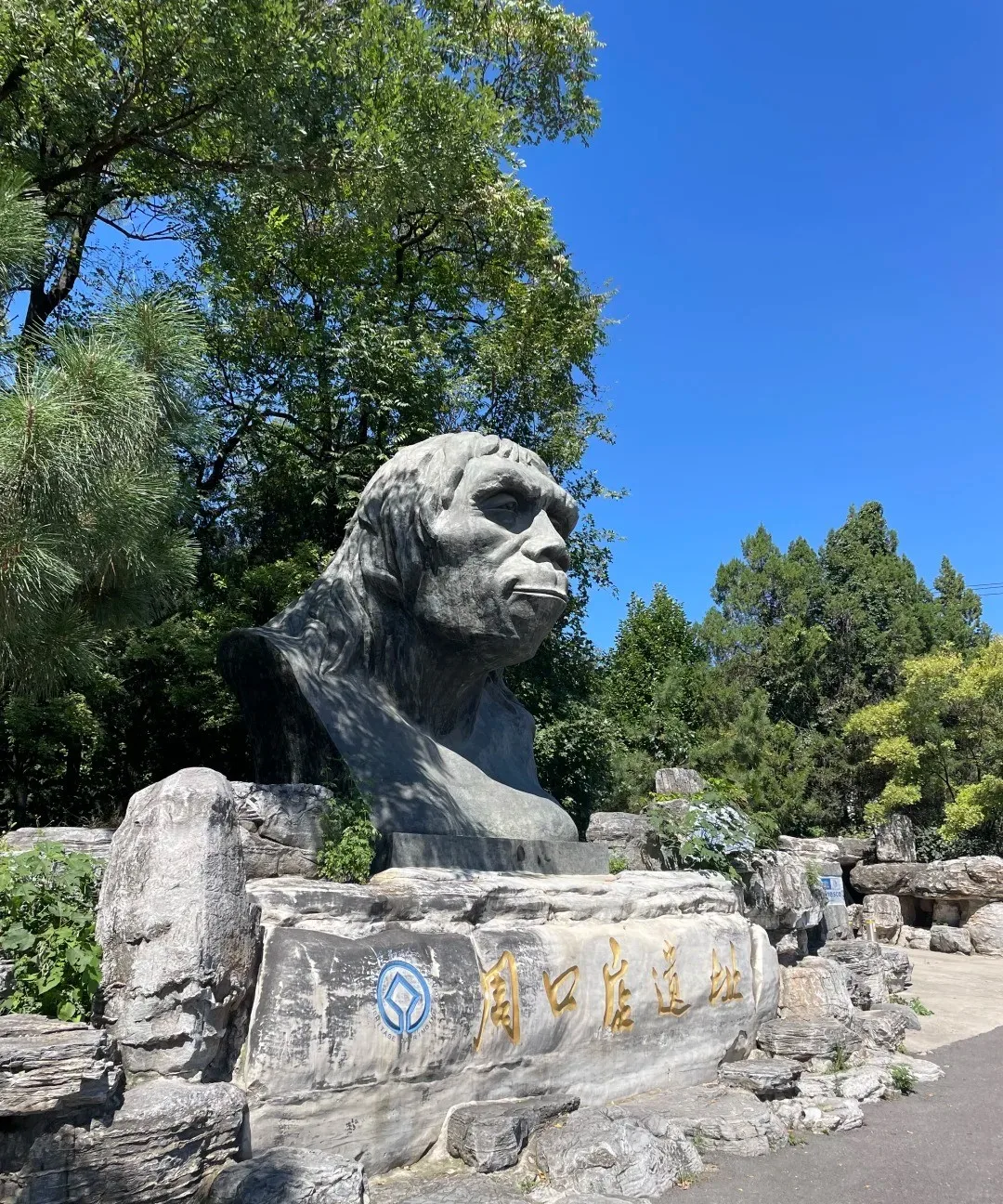
Zhoukoudian Peking Man Site: The First Spade Back in 1929
Beneath a cave on Longgu Shan, some forty metres of silt have built up layer by layer, and the Peking Man skulls sit in level eleven. On 2 December 1929 Pei Wenzhong lifted out the first complete one. In 1941 the collection vanished in the fighting.