В Чунцине я научился сначала смотреть на этажи, а потом на расстояние по карте
First-time visitors to Chongqing are easily fooled by the map. Two points that look only a few hundred meters apart on a screen may in reality be separated by escalators, slopes, pedestrian bridges, mall mezzanines, or a height difference of ten or more meters that you never expected. I used to judge distance first and route second, assuming a ten-minute walk was always easier than waiting for transport. But once I actually reached the Jiefangbei and Jiaochangkou area, I realized the first thing to understand there is not “how far,” but “which level, which exit level, and whether the ground under my feet connects to a bridge, a plaza, or a road.” For a foreigner, this kind of vertical judgment directly affects fatigue, the chance of getting lost, and whether you still dare to keep walking after dark.
The city taught me this lesson on an early evening. It was not fully dark yet. I came out of a mall, thinking I only had to follow the map for five minutes to reach a noodle shop a friend had recommended. Instead, when I stepped outside, I faced railings, a downward escalator, an elevated crossing platform, and moving traffic all at once, while the navigation arrow seemed pasted onto the air, giving me no clue whether “this level” and “the next level” were even the same street. I circled twice and briefly wondered whether my sense of direction was simply poor. But after calming down, I realized it was not a simple direction problem. I was still trying to read Chongqing with a flat-city mindset. I had seen similar adaptation logic before in other China travel writing, but in Chongqing the lesson became unusually concrete.
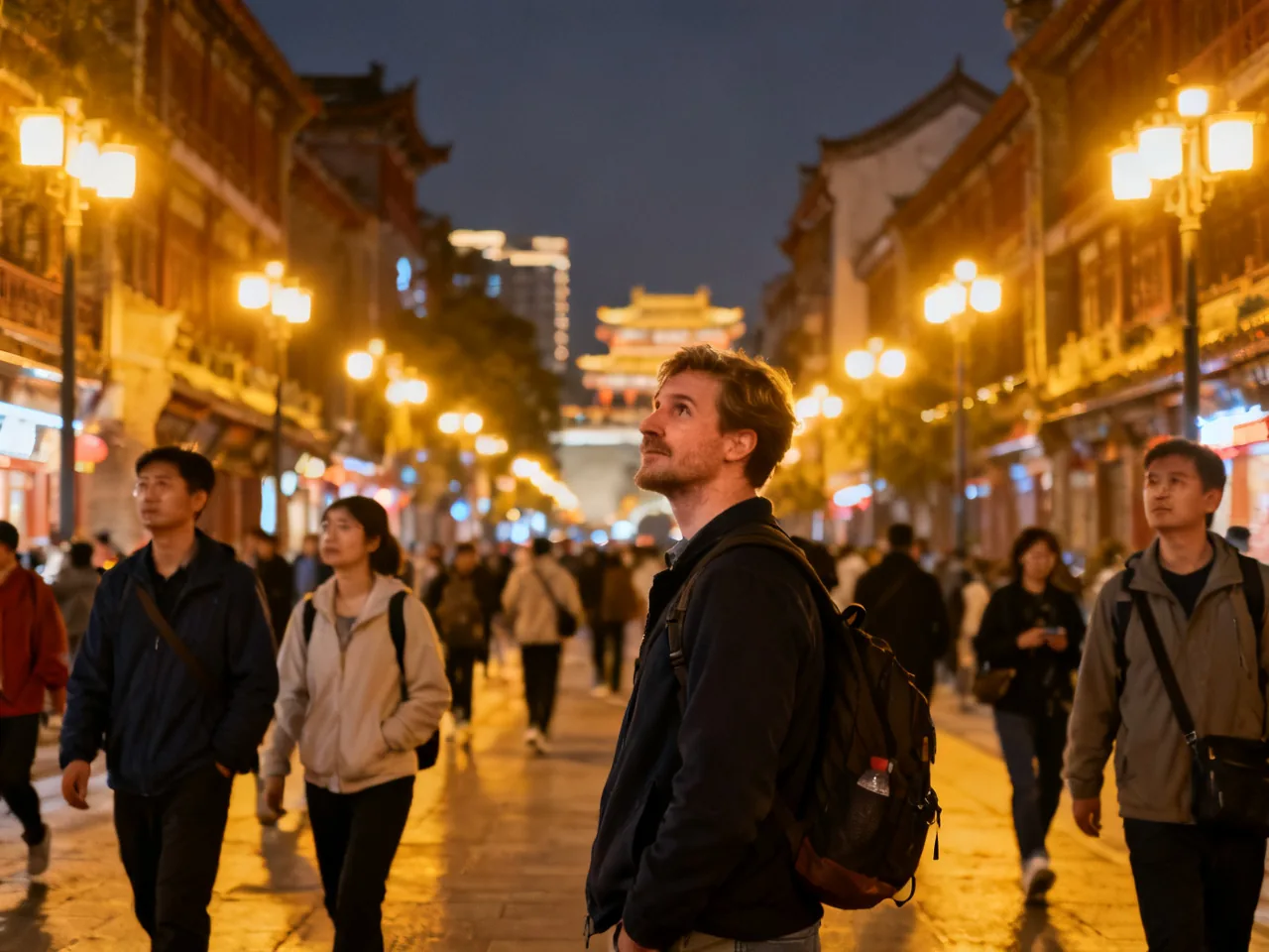
Later I gave myself a new rule: in Chongqing, ask first whether the place I want and the place I am standing occupy the same height, and only then ask how far apart they are. The rule sounds almost funny, but it was extremely effective. I began paying closer attention to mall directories, metro exit descriptions, bridge connections, and whether an escalator was taking me toward the level of my destination or merely into another commercial space. Slowly I discovered that Chongqing was not as “magical” or chaotic as people liked to claim. It simply requires one extra stage of spatial judgment before walking. Once I accepted that, many detours that had felt frustrating became understandable parts of a system.
The change also made stamina management much easier for me. In the past, if the map showed only eight hundred meters, I would instinctively choose to walk. In Chongqing, that judgment is often incomplete. Eight hundred meters with repeated downhill sections, a return climb, and a confusing elevated platform may cost more energy than riding one stop on rail transit. For foreigners who have already walked a lot by day and still want to eat and wander at night, misjudging height differences can bring fatigue very suddenly. Later I learned to check three things before moving: how big the elevation change was, whether the exit level matched my target, and whether there would be an easy public place to reset if I went wrong. As long as I had those three points in mind, I was far less likely to emotionally crash halfway.
One night this method genuinely saved me stress. Before going to see Hongyadong lit up after dark, I wanted to eat something nearby. My map offered two routes, one that looked shorter and one that seemed slightly longer. I checked the exit notes first and realized the shorter one involved an unfamiliar bridge connection and several level changes, while the longer one took a few more minutes but remained mostly on bright, continuous, populated street level. I chose the second option. It proved to be the better one: the whole way, I knew which level I was on, and I could see convenience stores, intersections, and places where I could stop to reconfirm the route. The experience reminded me of the idea in everyday street safety is not about forcing the shortest route, but choosing the clearest environment. Chongqing makes that lesson especially obvious because “shortest” is often just a map illusion.
Later I summarized a few very practical rules for friends visiting Chongqing for the first time. First, do not screenshot only the address of a place; also save the metro exit number and any floor guidance from the mall or district. Second, if a destination sits inside a commercial cluster, confirm whether the entrance is at street level, platform level, or inside a building. Third, at night or in rain, choose bright, stable routes where you can easily recalculate, rather than gambling on a complicated shortcut to save three minutes. Fourth, if navigation starts drifting, do not keep walking and guessing at the same time; stop at a legible point and check again. Fifth, do not treat taking one station of transport as failure. In Chongqing, avoiding one wrong slope can be a very successful choice.
When I finally reached that noodle shop, only a few tables were still empty, and from the doorway I could see distant layers of illuminated buildings and bridges. The relief I felt while sitting down mattered almost as much as the food itself. I had finally understood that Chongqing was not testing my stamina as much as my willingness to admit that its urban logic differed from the flat logic I knew best. Once I accepted that, much anxiety could be removed in advance. For foreign travelers, this is valuable: you do not need to pretend you will never get lost, and you do not need to interpret every detour as failure. You are simply learning, step by step, to read vertical relationships before map distance in a vertical city. Once that order becomes familiar, Chongqing stops being merely “complicated” and becomes a city you can gradually cooperate with and gradually understand.