Sichuan-Tibet Highway: Route Breakdown & Altitude Tips
Route Overview
The southern Sichuan-Tibet Route (G318) spans about 2,150 km from Chengdu to Lhasa, crossing 14 mountain passes above 4,000m. Allow 7-10 days, passing through Kangding, Litang, Mangkang, Zuogong, and Nyingchi. Mostly paved, but some sections risk landslides and rockfall during rainy season.
Stage-by-Stage
Chengdu to Kangding (280km): Elevation rises from 500m to 2,560m. Luding Bridge, Zheduo Pass (4,298m, your first real altitude test).
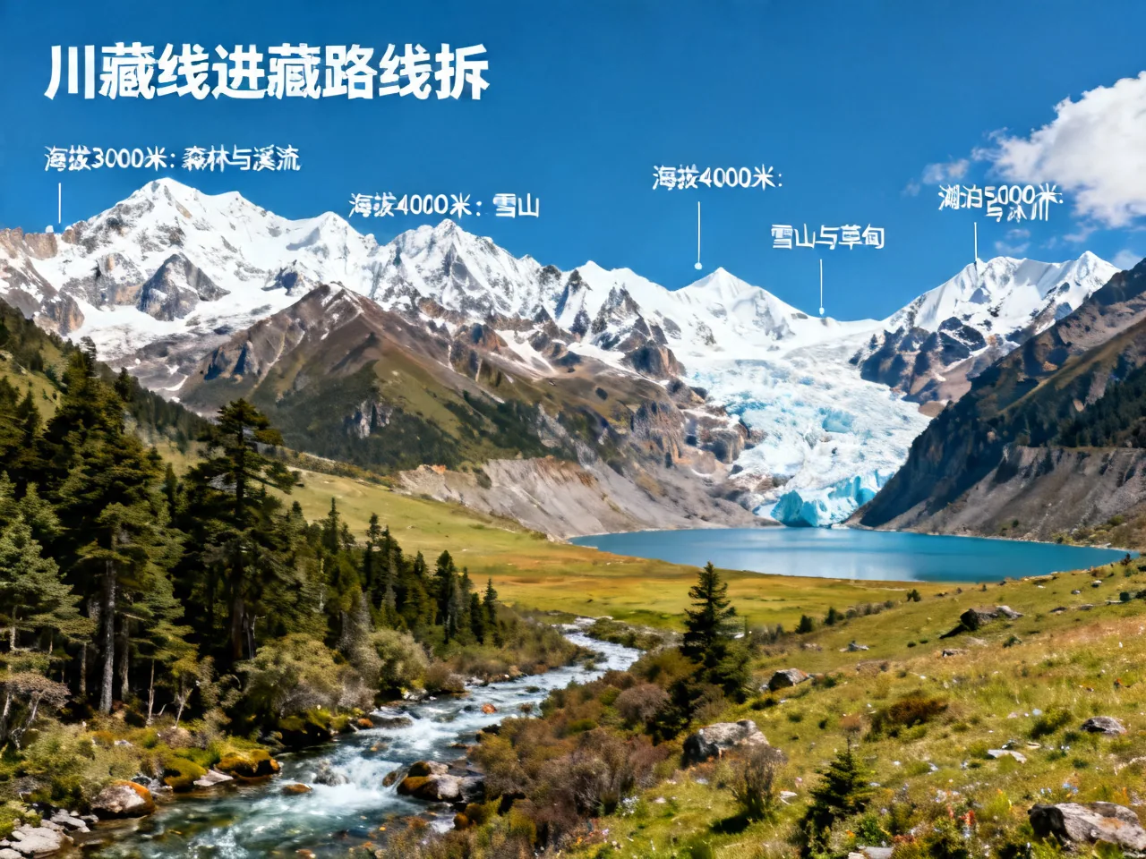
Kangding to Litang (280km): Cross Gaoersi and Jianziwan mountains to reach Litang (4,014m).
Litang to Zuogong (450km): Cross Jinsha and Lancang River gorges with dramatic elevation swings, dense hairpin turns.
Zuogong to Nyingchi (580km): Via Ranwu Lake, Midui Glacier (50 yuan), Lulang Forest. Tongmai section now has tunnels.
Altitude Sickness Prevention
Start taking Rhodiola rosea one week before departure. For the first two days above 3,500m: no showers, no running, no alcohol. Take ibuprofen for headaches; use oxygen or descend if symptoms are severe.
Related Reads
- 10-Day East China Five-City Loop
- Lijiang Old Town: Naxi Culture & Snow Mountain Views
- Zhangjiajie Glass Bridge & Tianmen Mountain Guide
- Guilin Li River Scenic Tour Complete Guide
- Spring Bloom Map: China’s Most Beautiful Flower Fields